Region
Bay Area
The San Francisco Bay Area is one of the nation's most important biodiversity hotspots, with every corner feeling like a different world. Thanks to the region's strong environmentalist movement, these lands are public and yours to explore, and thanks to the region's strong transit network, you can get there without having to get in a car.
Guides within Bay Area
Recommended hikes
South Bay
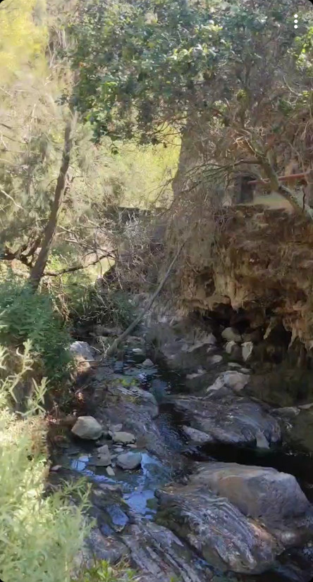
Alum Rock: Penintencia Creek Trail
The Penitencia Creek Trail runs all the way from Berryessa BART into Alum Rock Park, and then up the narrow canyon parallel to the roadway
- 17min from Milpitas BART
- up to 7mi
- easy
Marin
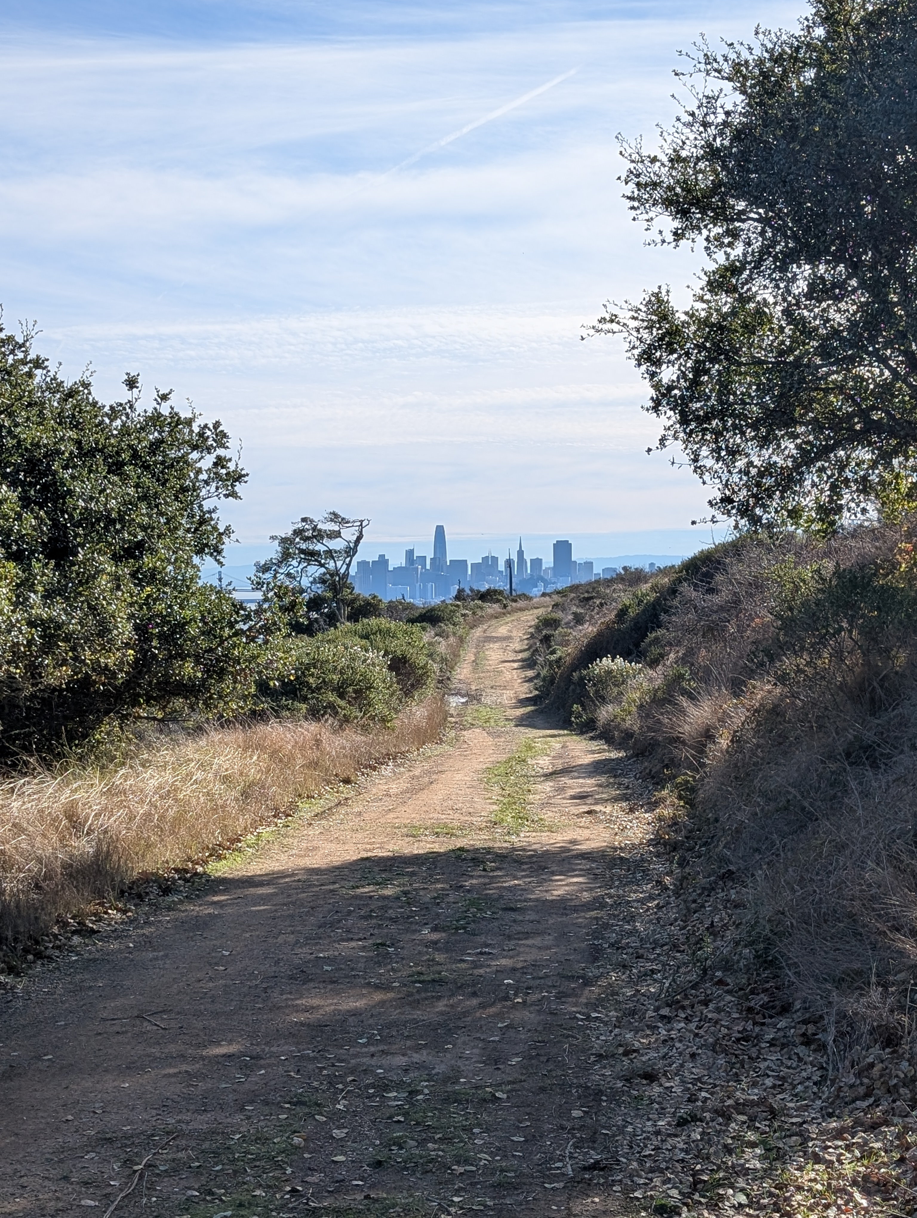
Angel Island State Park
Island hikes of varying lengths with fantastic views of San Francisco and the greater Bay Area, plus historic buildings.
- 30min from San Francisco Ferry Building
- many options
- moderate to hard
East Bay
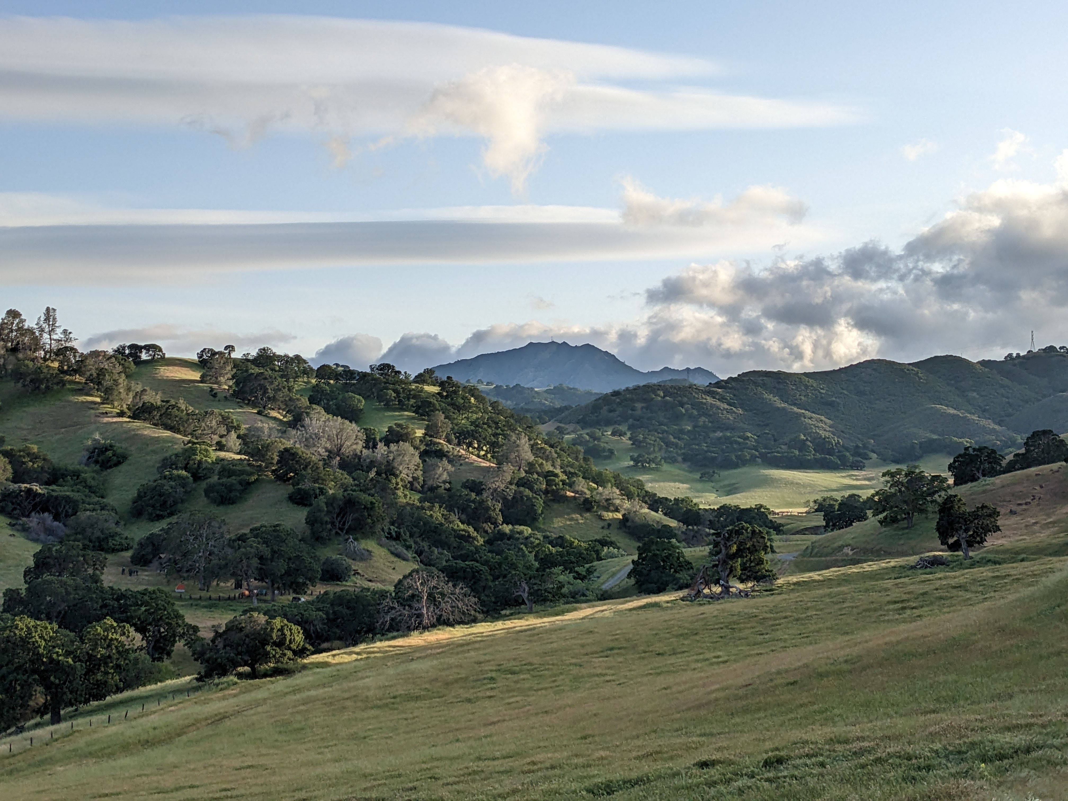
Black Diamond Mines: Clayton to Antioch
Isolated valleys, each with their own strong identity, make up Black Diamond Mines, with windswept grassland, woodland, chaparral, and even evergreen forest. Mining history permeates the area.
- 1h3min from MacArthur BART
- 10.4mi
- hard
South Bay
Coyote Valley: Arrowhead Loop
Coyote Valley Open Space Preserve offers views over Morgan Hill from its grassy and oaky shoulder.
- 64min from Downtown San José
- 5.3mi (including walk to trailhead)
- easy-to-moderate
East Bay
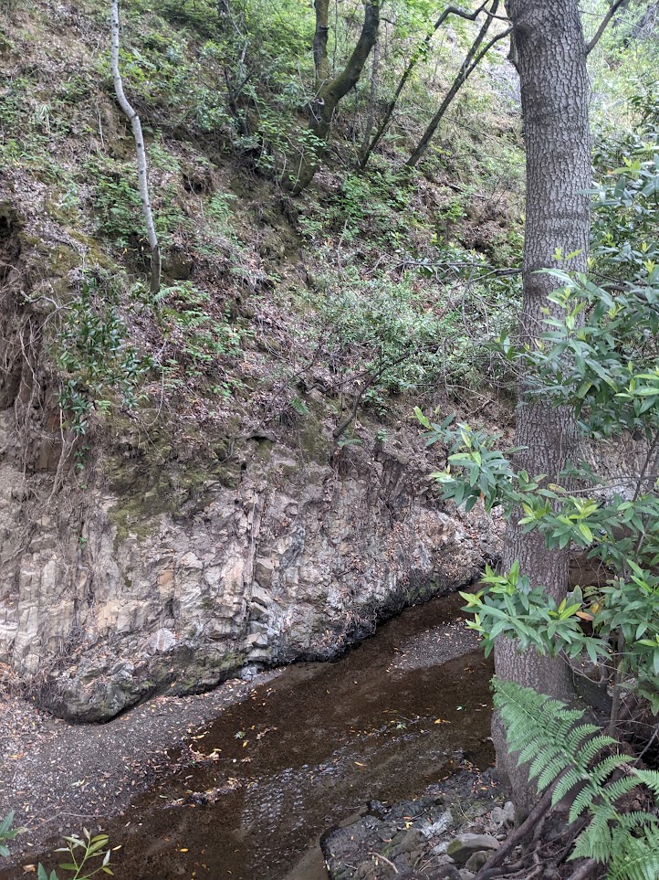
Cull Canyon: Along Cull Creek
A short, calm hike up a canyon with bay laurels.
- 40min from Lake Merritt BART
- 4.8mi (out and back)
- easy
East Bay
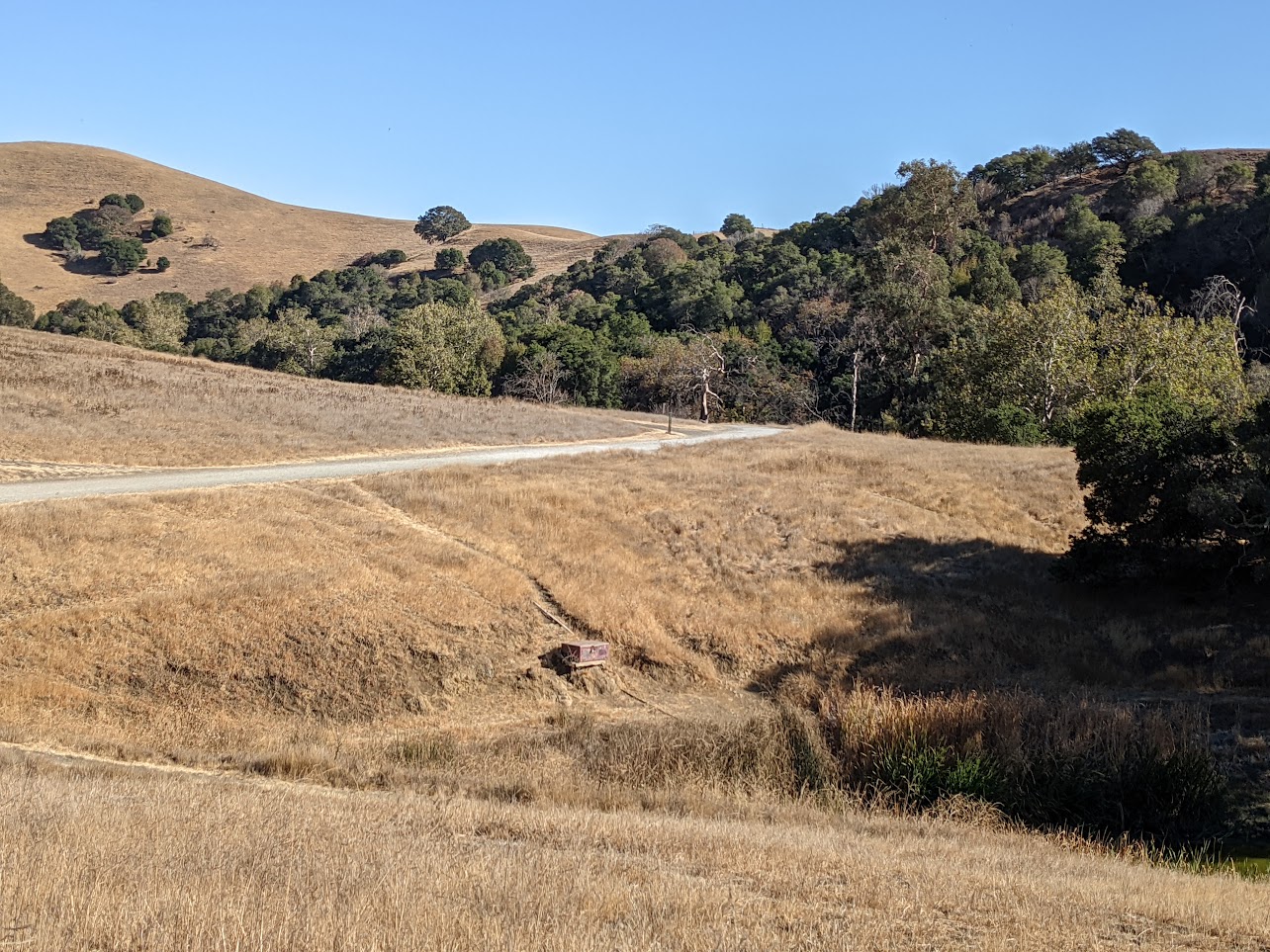
Dry Creek Pioneer Regional Park: Pioneer Trail Loop
Largely-shaded trails along creeks in classic East Bay rolling hills.
- 54min from MacArthur BART
- 3.6mi
- easy
East Bay
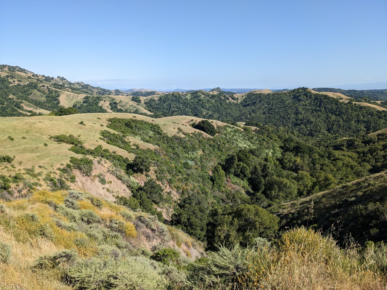
Harvey Ranch to Las Trampas / Moraga to Danville
From Moraga to Danville via some of the most remote parts of the East Bay
- 34min from MacArthur BART
- 10.7mi
- hard
Marin
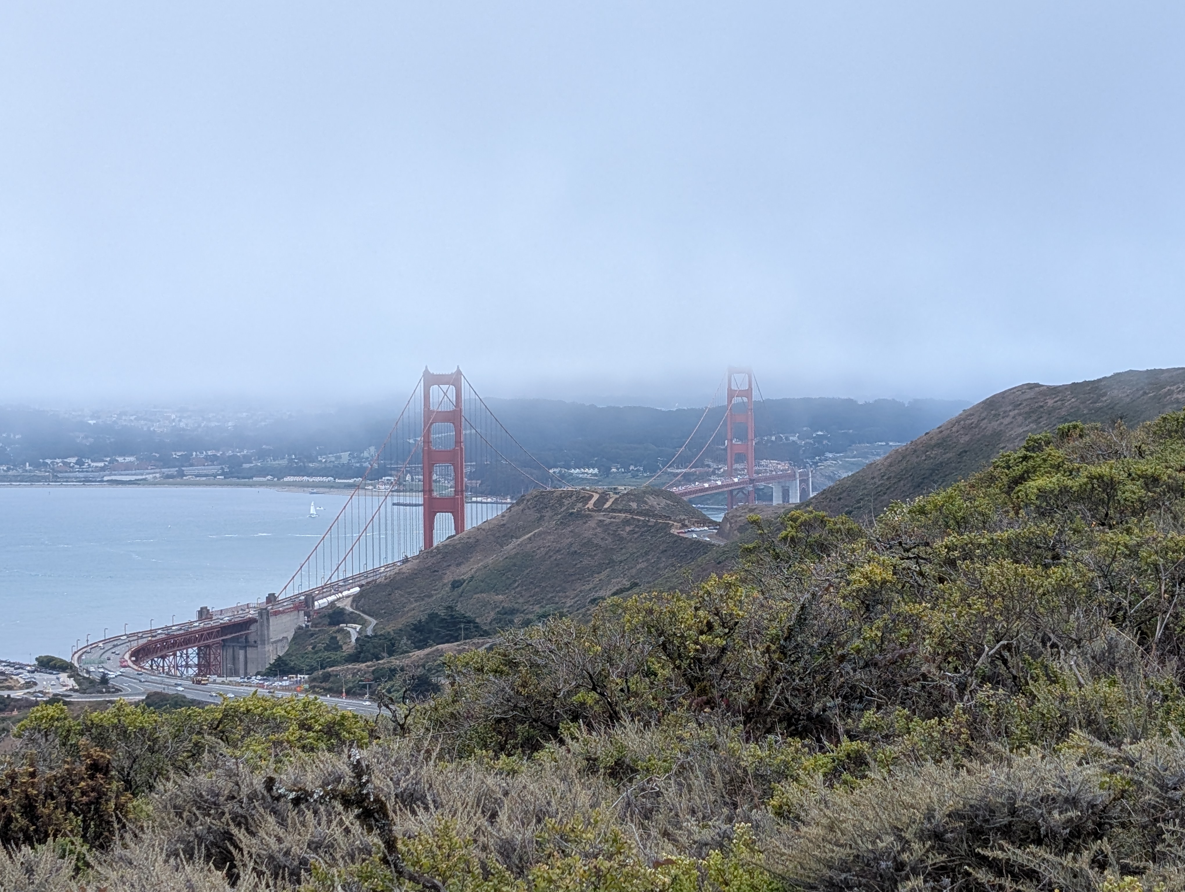
Marin Headlands: Golden Gate Bridge to Marin City
See the Golden Gate Bridge and hike up into the Marin headlands for expansive views of San Francisco, the bridge, and the Bay.
- 27min from Civic Center BART
- 5.7mi
- easy
East Bay
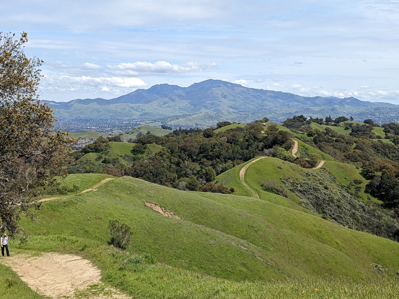
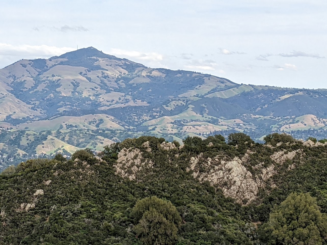
Briones: Walter Costa to Lafayette Ridge loop
A steep trek with incredible panoramic views of the inner East Bay, Mt Diablo, and even Mt Tam.
- 13min from MacArthur BART
- 8.0mi
- hard
East Bay
Las Trampas: Ringtail Cat to Ridge to Del Amigo
Climb the rocky ridgeline from suburban Danville up into a rugged East Bay classic.
- 45min from MacArthur BART
- 4.6mi
- moderate
East Bay
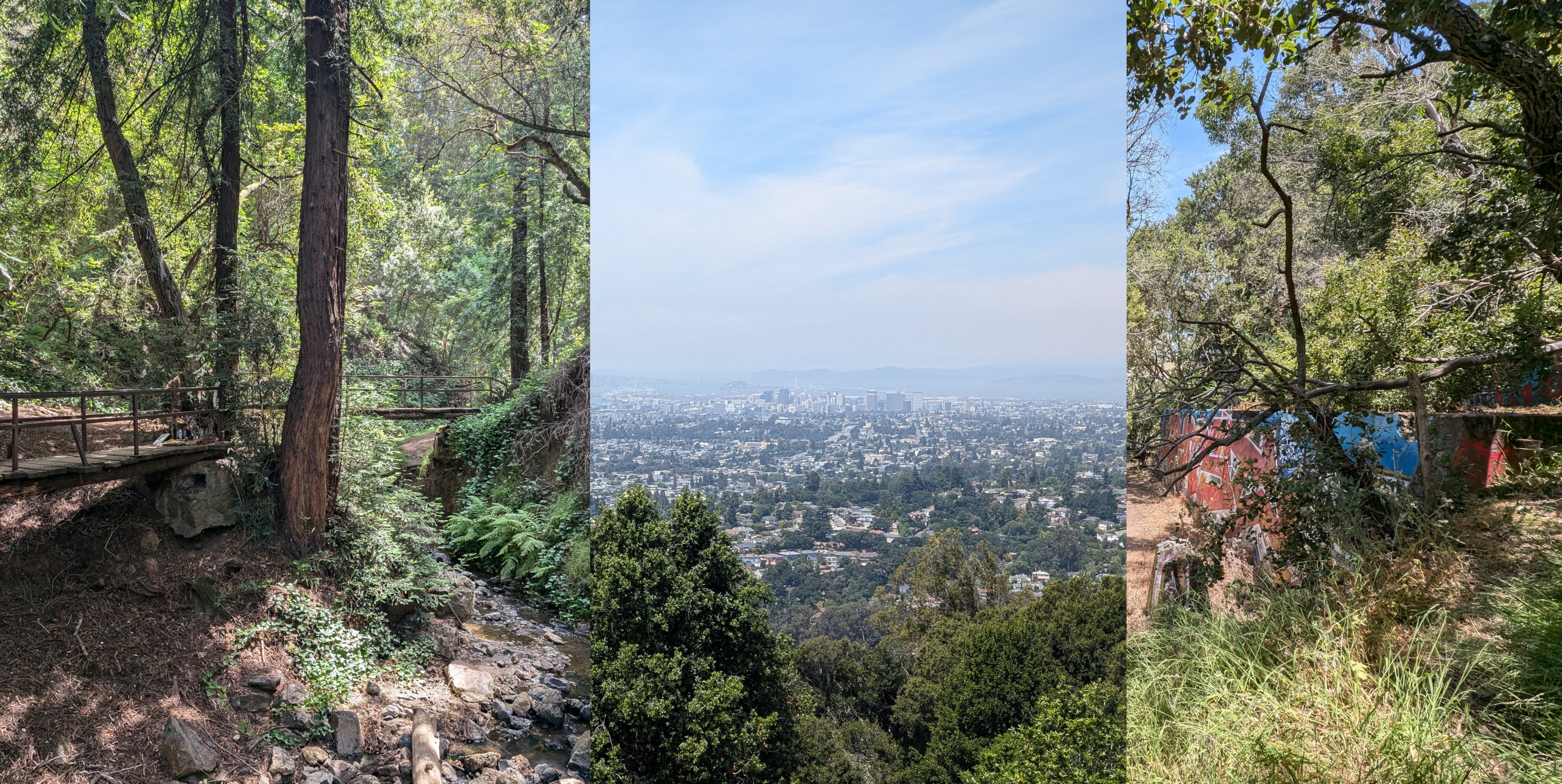
Leona Heights: Laurel to Merritt College
An off-the-beaten-path hike through redwoods and a mural-filled former quarry to a local college.
- 24min from 19th Street BART
- 3.8mi
- easy to moderate
East Bay
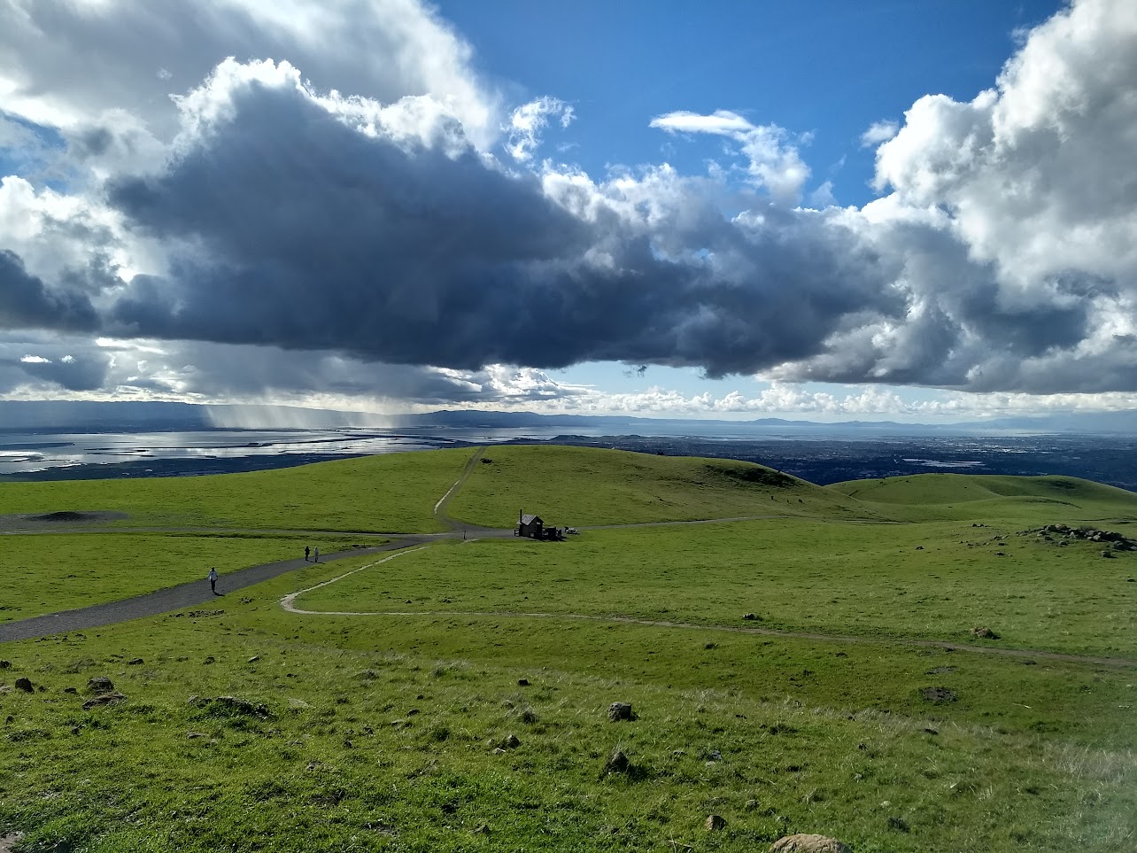
Mission Peak Regional Preserve
The famed Mission Peak attracts all sorts to reach its stony peak perched above Fremont. From the top, panoramic views of the Bay and of the Diablo Range await.
- 1h27min from MacArthur BART
- 3.3mi
- hard
East Bay
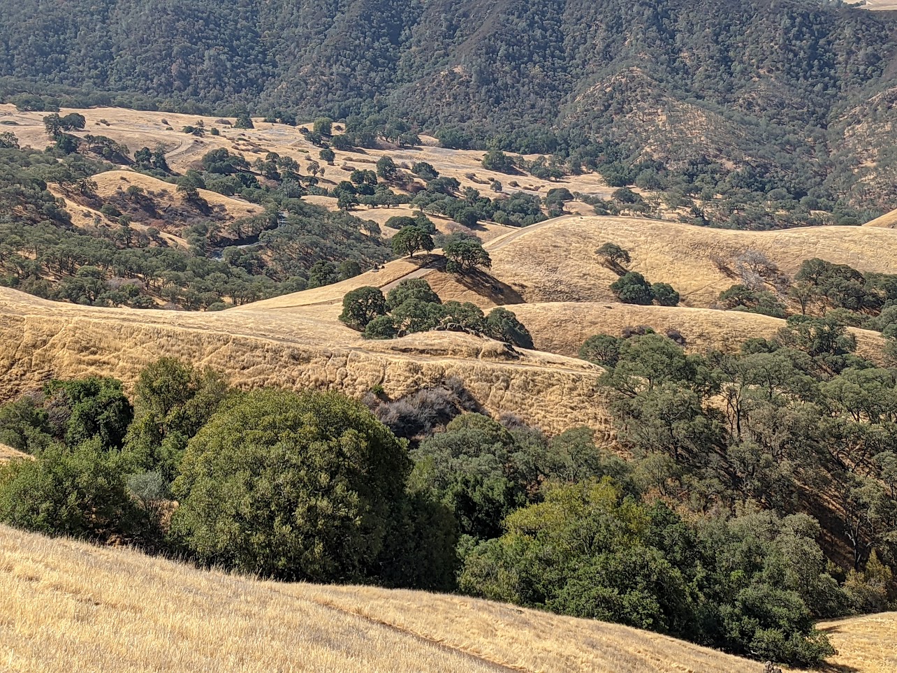
Mount Diablo: Mitchell Canyon to Summit
Mount Diablo State Park is the crown jewel of the East Bay. On a clear day, from the summit, 40 of California's 58 counties can be seen, from the Golden Gate Bridge all the way to the Sentinel Dome of Yosemite Valley.
- 1h7min from MacArthur BART
- 12.4mi (out and back)
- hard
Marin
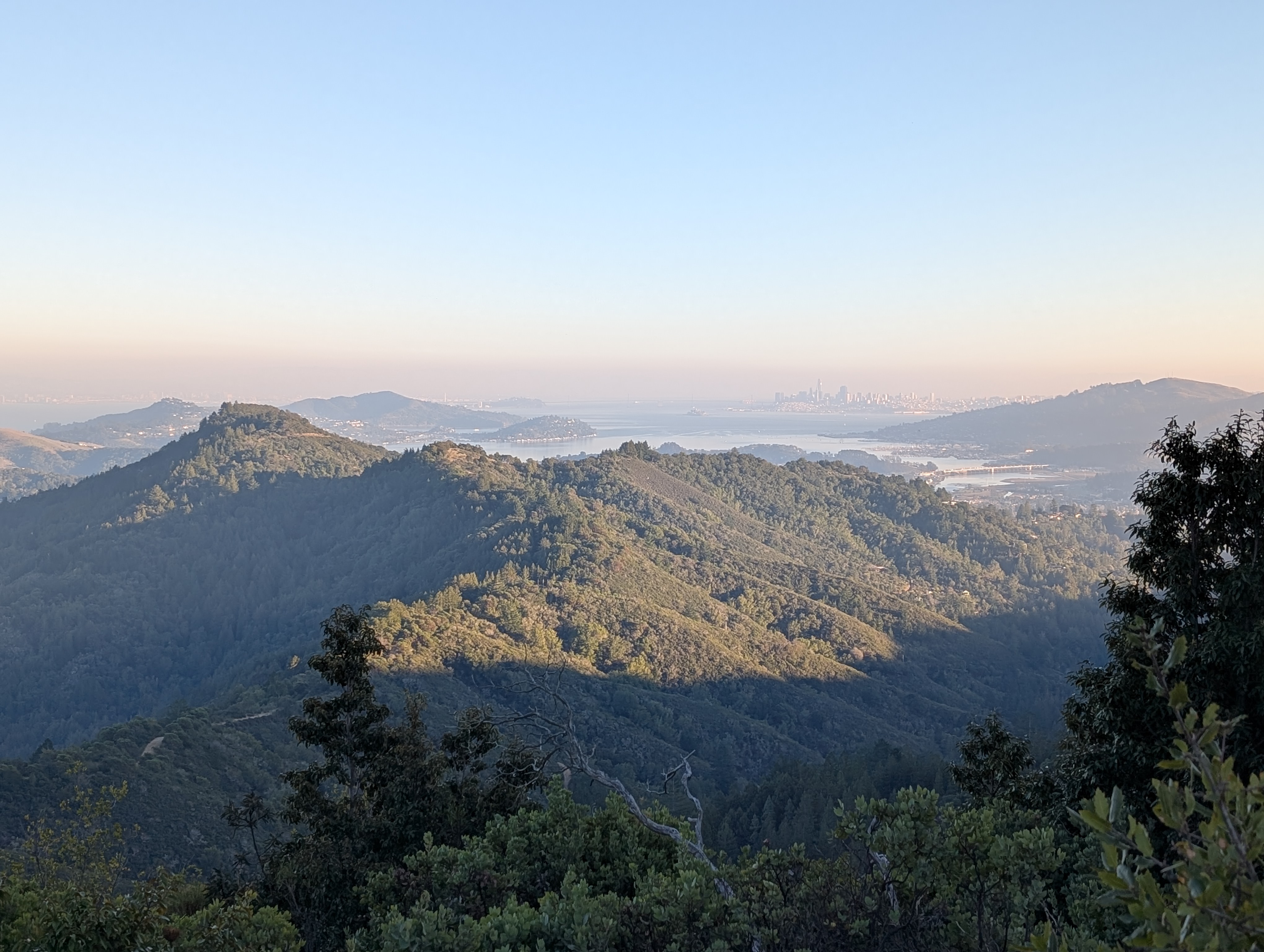
Mount Tamalpais: Pantoll to East Peak
An out-and-back hike up a nicely-graded rail trail to the highest peak in Marin with stunning views of the surrounding mountains and the San Francisco skyline.
- 44min from Marin City Hub
- 7.8mi (out and back)
- moderate
Marin
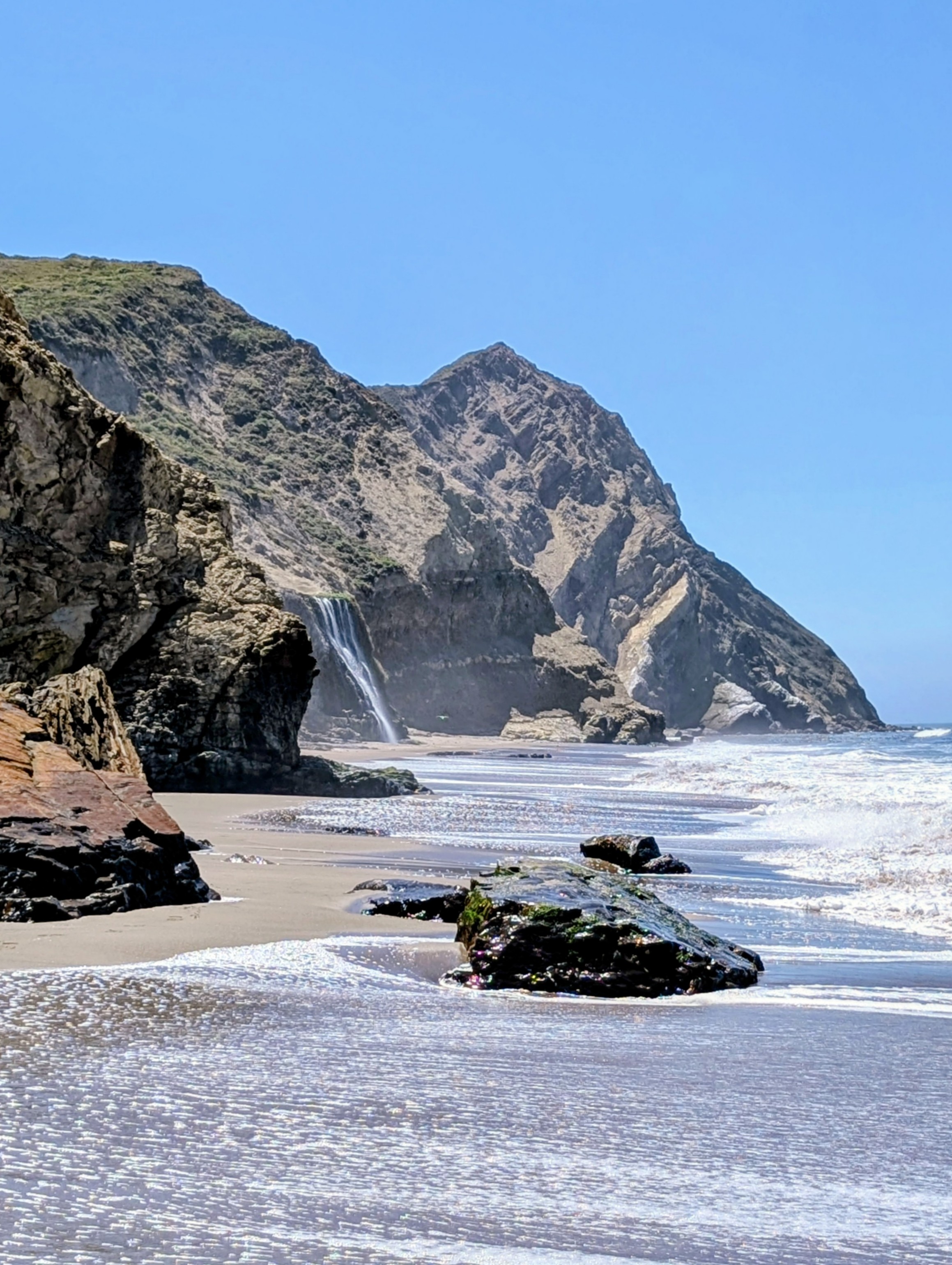
Point Reyes National Seashore: Alamere Falls
Point Reyes National Seashore is famous for this coastal waterfall, one of only two in the state.
- 65min from San Rafael Transit Center
- 15.7mi (out and back)
- hard
South Bay
Rancho San Antonio: Rhus Ridge
Sprawling green hills and shaded canyons just outside Silicon Valley.
- 19min from Mountain View Caltrain
- 4.4mi
- moderate
East Bay
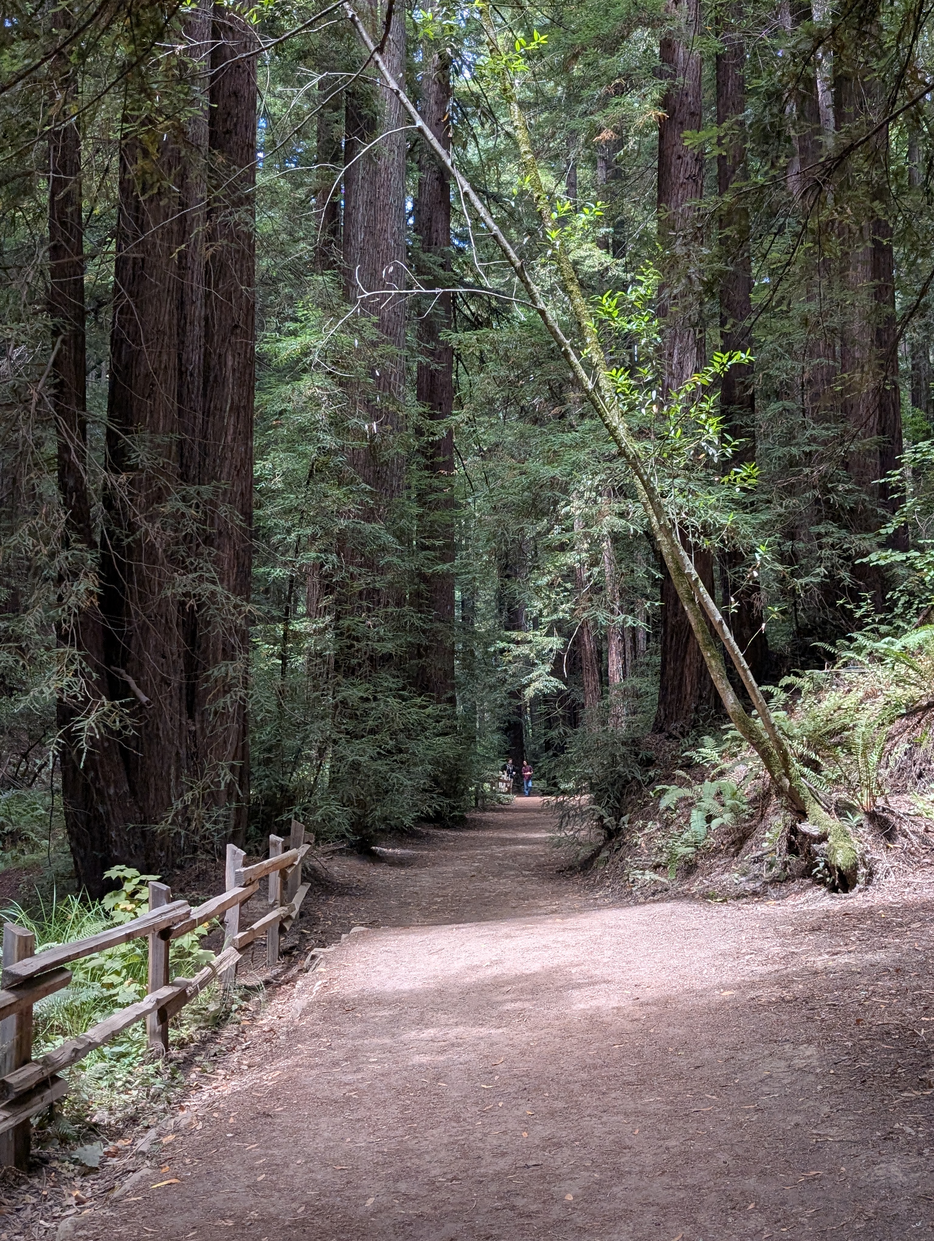
Dr. Aurelia Reinhardt Redwood Regional Park
Come enjoy the towering redwood groves that once built Oakland and San Francisco, or hike out to the East Ridge for sweeping views over the Bay.
- 25min from Fruitvale BART
- 2.8mi
- easy to hard options available
Peninsula
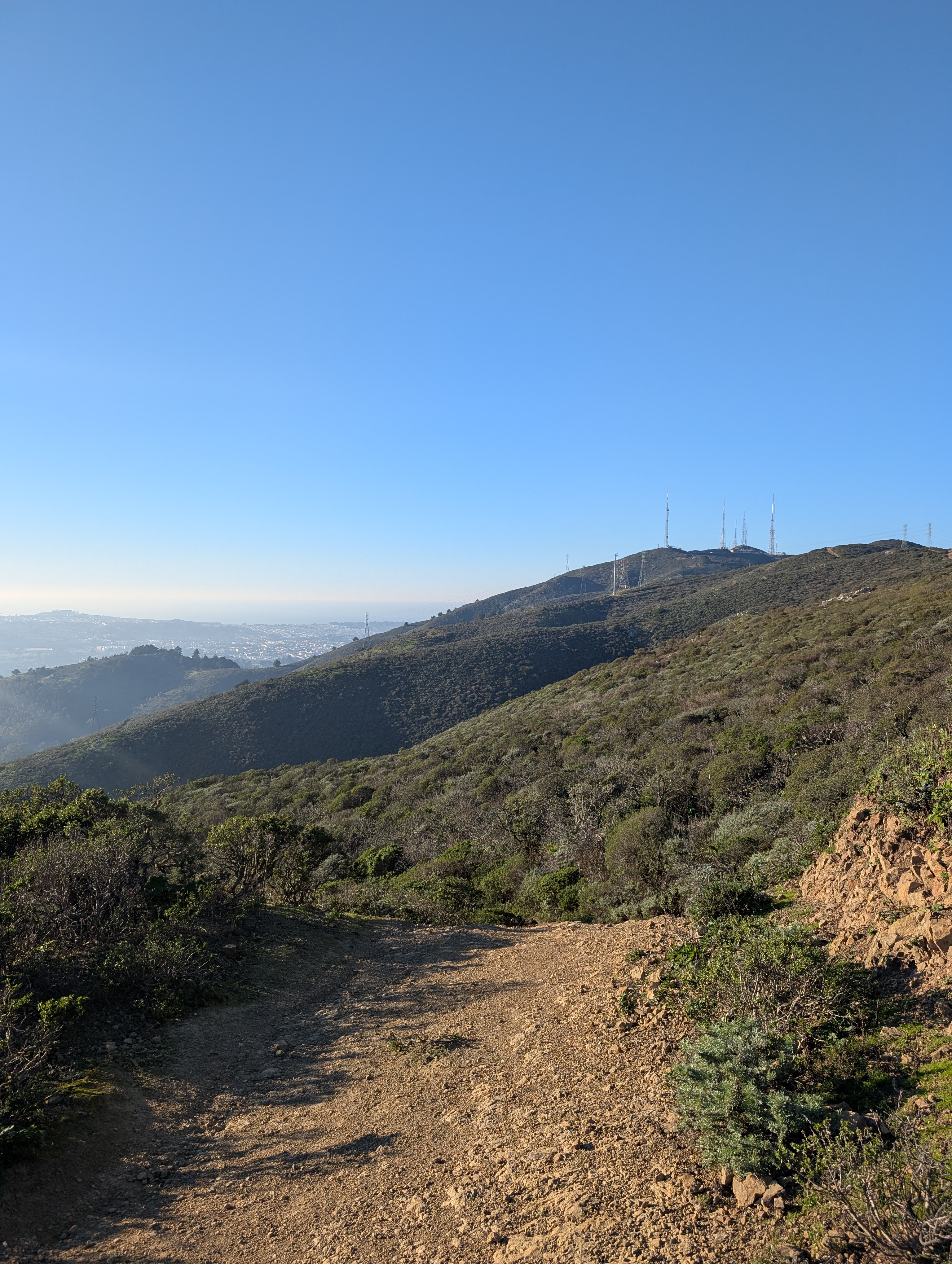
San Bruno Mountain State & County Park
Just outside San Francisco, head up and over the chapparal slopes of San Bruno Mountain and enjoy 360° views of San Francisco, South City, and beyond.
- 8-12min from Daly City or Balboa Park BART
- 6.2mi
- hard
South Bay
Santa Teresa: Bernal Loop
Santa Teresa County Park, on the far southern end of San José, has sweeping, seemingly endless views of the valley.
- 52min from Downtown San José
- 6.2mi (including walk to trailhead)
- moderate
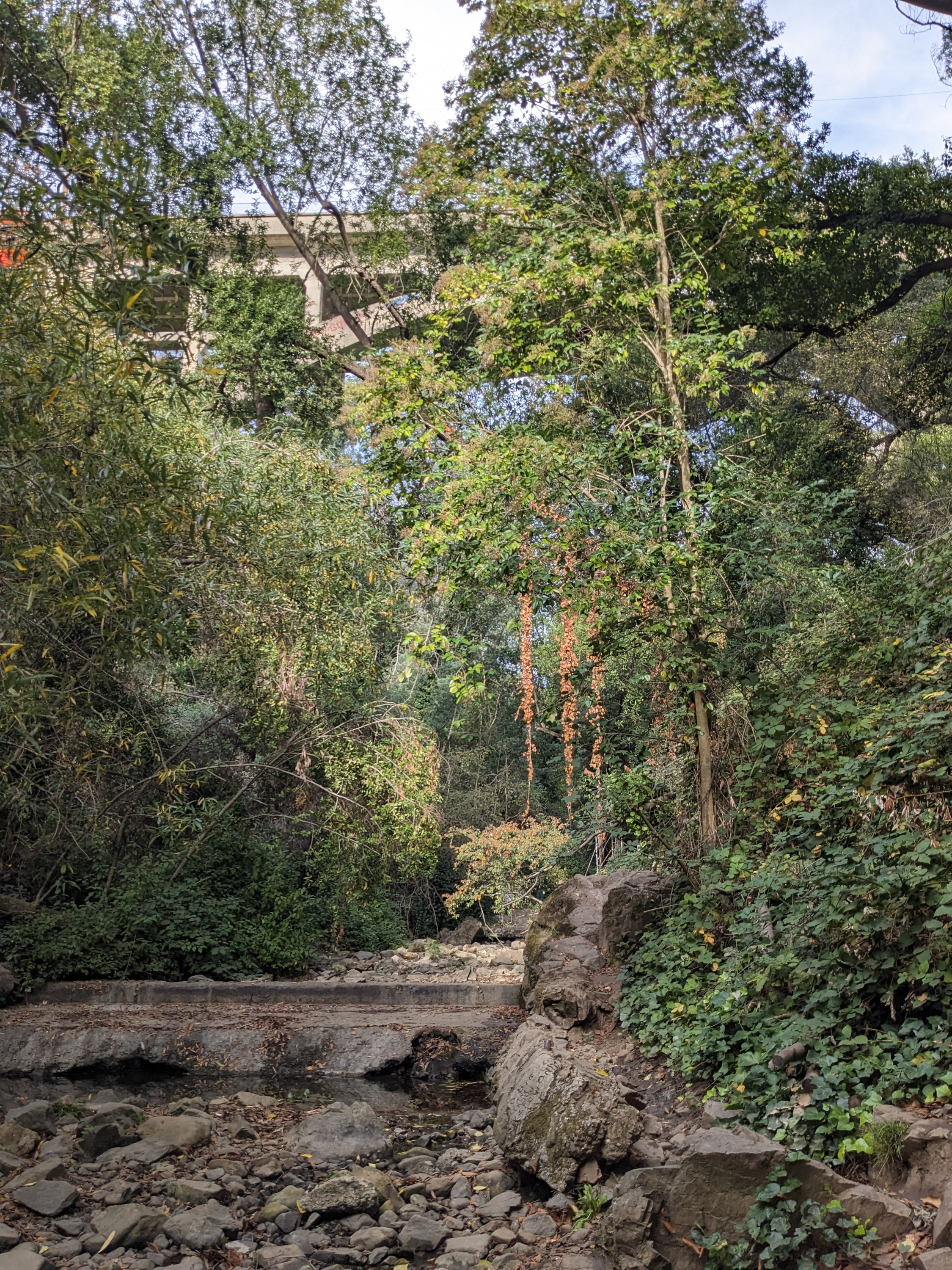
East Bay
Dimond Canyon / Sausal Creek to Montclair
A short but fun hike up a shady canyon via redwoods, featuring lots of community art.
- 18min from 19th Street BART
- 3.1mi
- moderate
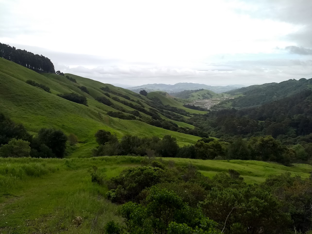
East Bay
Siesta Valley & Claremont Canyon: Orinda to Berkeley
A trek over the hills via wildflower territory and eucalyptus groves with views of the city, Berkeley, and inland.
- 5min from Rockridge BART
- 6.1mi
- moderate to hard
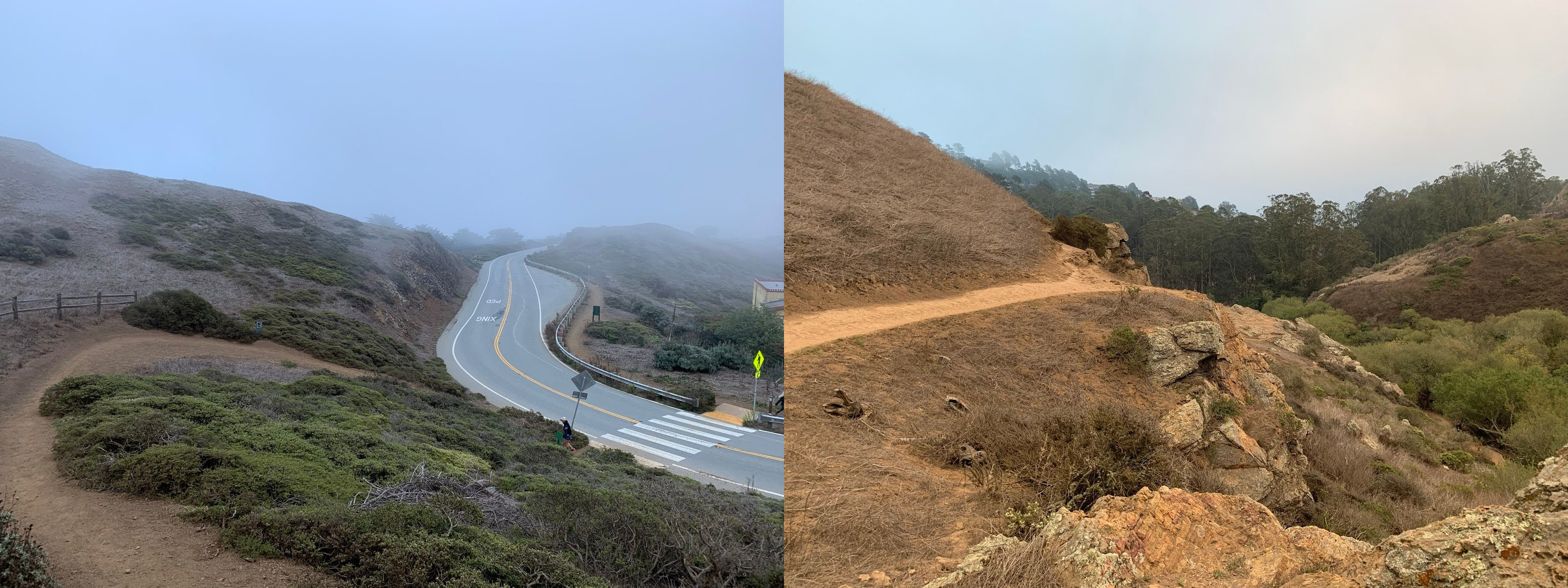
San Francisco
Mount Sutro, Twin Peaks, and Glen Canyon
A huge bang for your buck hike across San Francisco's urban ridgeline and deep into Glen Canyon.
- -- from San Francisco
- 5.5mi / 8.8km
- moderate
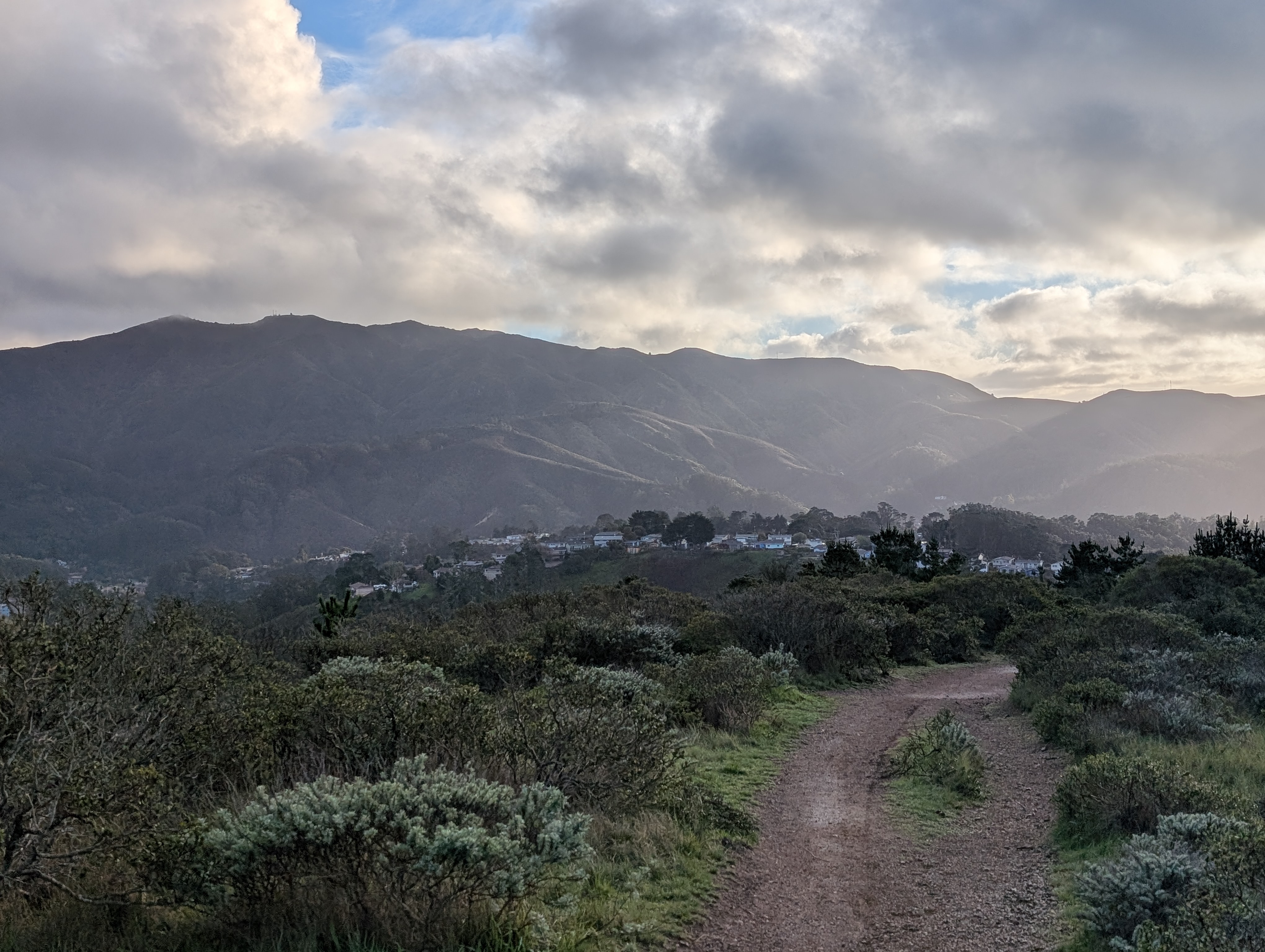
Peninsula
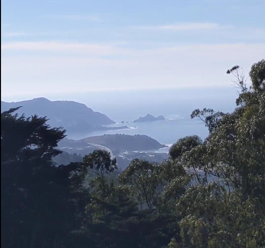
Sweeney Ridge: Pacifica from Mori Point to Terra Nova
A windbeaten ridgeline with panoramic views of the Bay and the ocean from a historic former Nike missile site.
- 28min from Daly City BART
- 4.5mi
- moderate
Peninsula
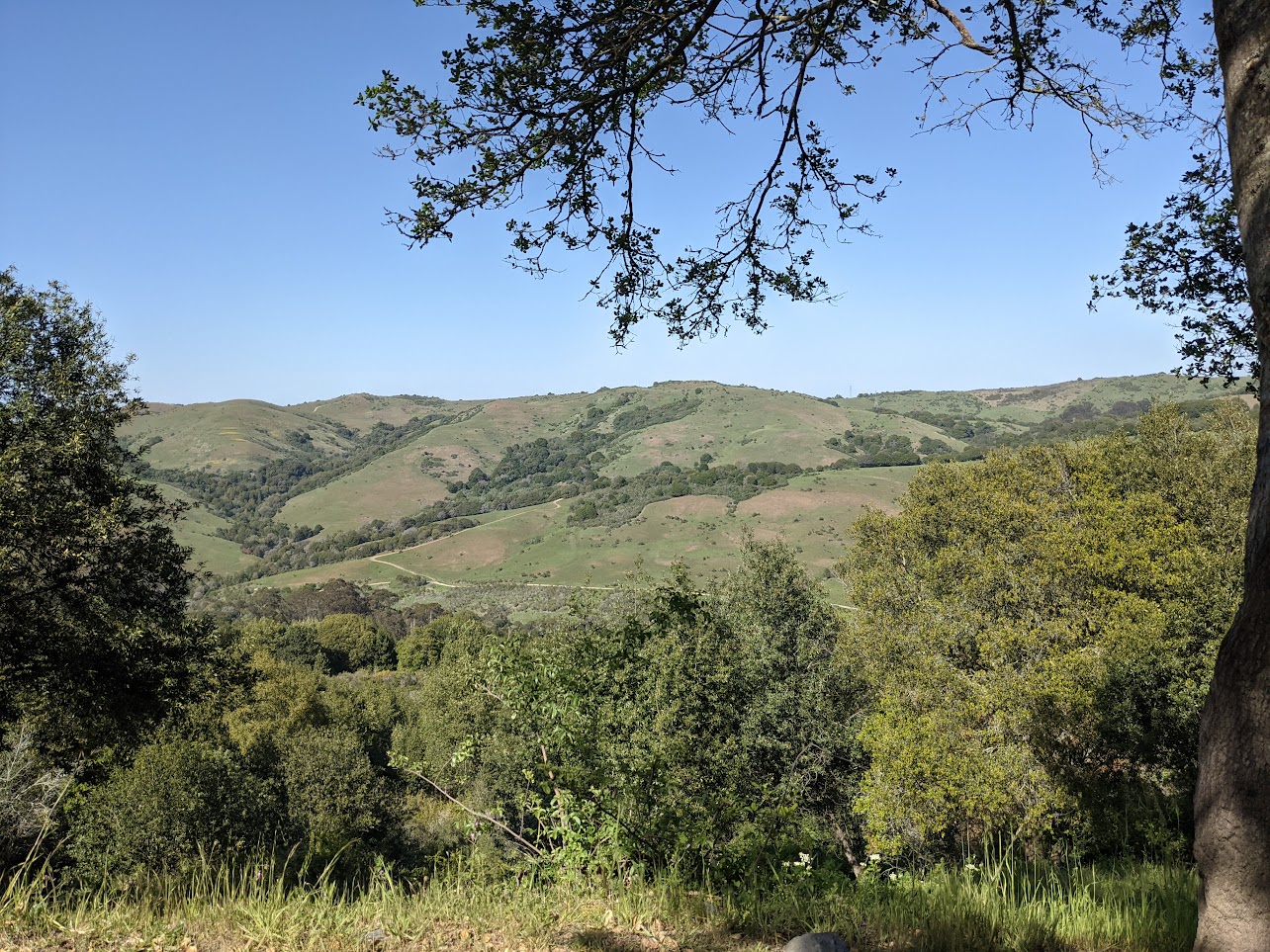
Sweeney Ridge: Skyline College to San Bruno
Views over San Francisco's reservoirs and the Pacific Ocean from the top of a scenic ridge
- 20min from San Bruno BART
- 4.0-7.3mi
- moderate
East Bay
Wildcat Canyon Regional Park
Wildflowers and expansive grassy views from right behind Richmond and El Cerrito.
- 10min from El Cerrito del Norte BART
- 7.9mi
- moderate to hard
Trailheads in Bay Area
The interactive map requires JavaScript. Browse the hike guides or use the trailhead records instead.
Loading map data…
Use two fingers to pan the map.
Drag to pan. Hold Ctrl or ⌘ while scrolling to zoom.
Trailhead results
No trailheads are visible in this map area. Pan or zoom out to find results.