Mount Sutro, Twin Peaks, and Glen Canyon
A huge bang for your buck hike across San Francisco's urban ridgeline and deep into Glen Canyon.
- 5.5mi / 8.8kmDistance
- moderateDifficulty
- All weekTransit service
From San Francisco
To the trail
Travel time: --
Routes
Stops
Return trip
Travel time: --
Routes
Stops
Travel times are estimates from San Francisco.
This hike begins in Cole Valley on the N-Judah, one of the city's cutest outer neighborhoods (and former home to this site's creator). After stopping for a coffee at Wooden Coffeehouse, or even better, ice cream from The Ice Cream Bar if they're open, it heads up to the lower entrance to Mount Sutro. Starting up the trail into the eucalyptus forest, you'll quickly feel totally isolated from the bustle of the city, reminded of it only houses stood stolidly above one side.
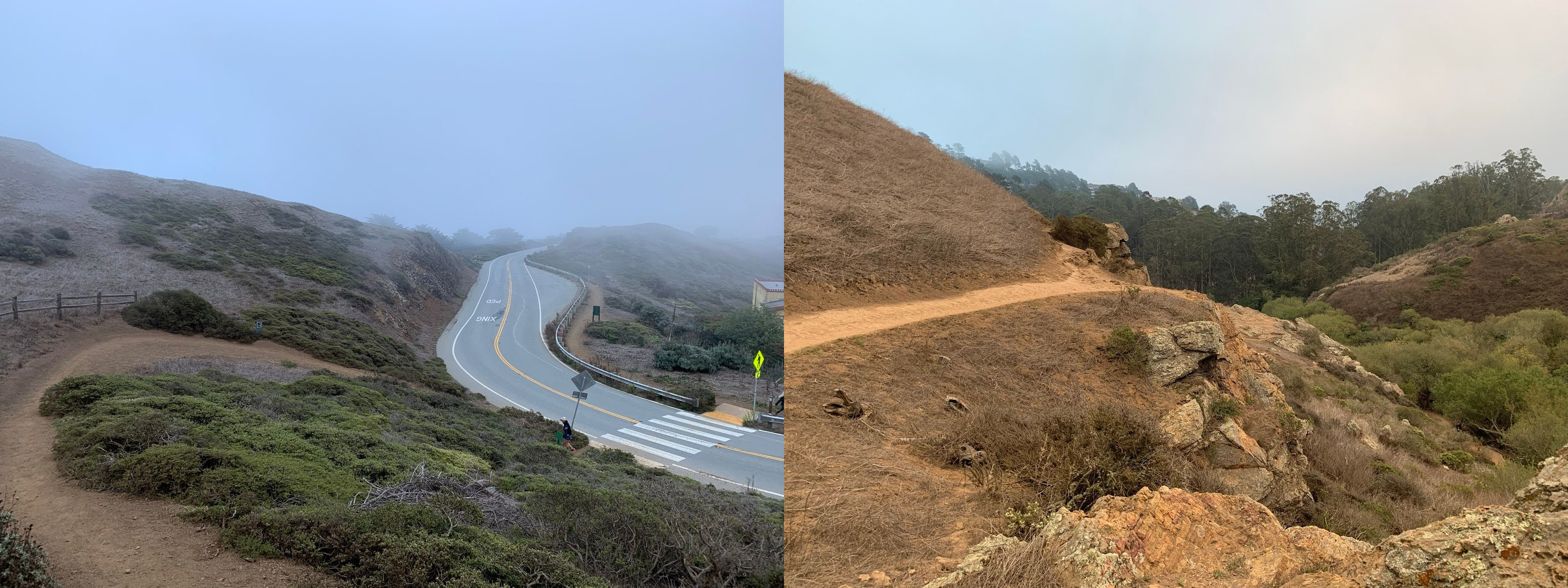
After leaving the forest, a cross a short saddle to begin climbing up Twin Peaks. One of the famed views of San Francisco, keep an eye out for spots to get the perfect photo of downtown seen looking down the full length of Market Street — and for Sutro Tower, the city's beloved red and white TV tower, and even for the Golden Gate Bridge!
After you're done enjoying the views, head down into Glen Canyon. The source for Islais Creek, the canyon remains ones of the most natural spaces in the city, with grasses, scrubby shrubbery, and trees typical of what much of the city used to look like. It also features some of the city's only natural bouldering, if you happened to pack your climbing shoes and crashpad.
At the end, the city sneaks up on the trail from both sides and you find yourself in the middle of central Glen Park, right next to plenty of options for food, a drink, or a ride home on BART.
Thank to you to Scott F for suggesting this hike and contributing the GPX and photos!
Mount Sutro, Twin Peaks, and Glen Canyon map
The interactive route map and elevation profile require JavaScript. The GPX file remains available to download.
Loading route map…