Leona Heights: Laurel to Merritt College
An off-the-beaten-path hike through redwoods and a mural-filled former quarry to a local college.
- 3.8miDistance
- easy to moderateDifficulty
- All weekTransit service
From 19th Street BART
To the trail
Travel time: 24min
Routes
Stops
Return trip
Travel time: 28min
Routes
Stops
Travel times are estimates from 19th Street BART.
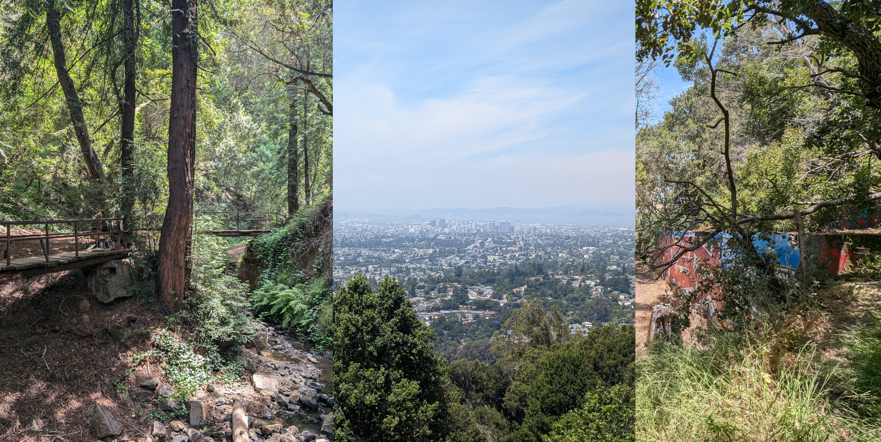
Leona Heights is the site of a former quarry in the Oakland Hills. Today, the steep ravine leading up from the flats takes you through a redwood grove before leading you to the former route of a quarry tramway. Look around for the remains of the former quarry infrastructure, whose footings today form the canvas of vibrant murals that make the park unique. Continuing up, you're treated to fantastic views of the Oakland and San Francisco skylines from a more southerly vantage than most of the popular viewpoints.
The hike as indicated here starts in the Laurel, where you can stop for a pre-hike coffee, before ascending through McCrea Memorial Park, a small park with a casting pond, before passing over CA-13 and into Leona Heights Park. The route is only a suggestion; the best part of Leona Heights is exploring the hidden murals, seeing the redwoods, and looking out over the Bay from its viewpoints.
To return, catch the AC Transit 54 at Merritt College, just across Campus Drive, which connects to Fruitvale BART.
Leona Heights: Laurel to Merritt College map
The interactive route map and elevation profile require JavaScript. The GPX file remains available to download.
Loading route map…