Mission Peak Regional Preserve
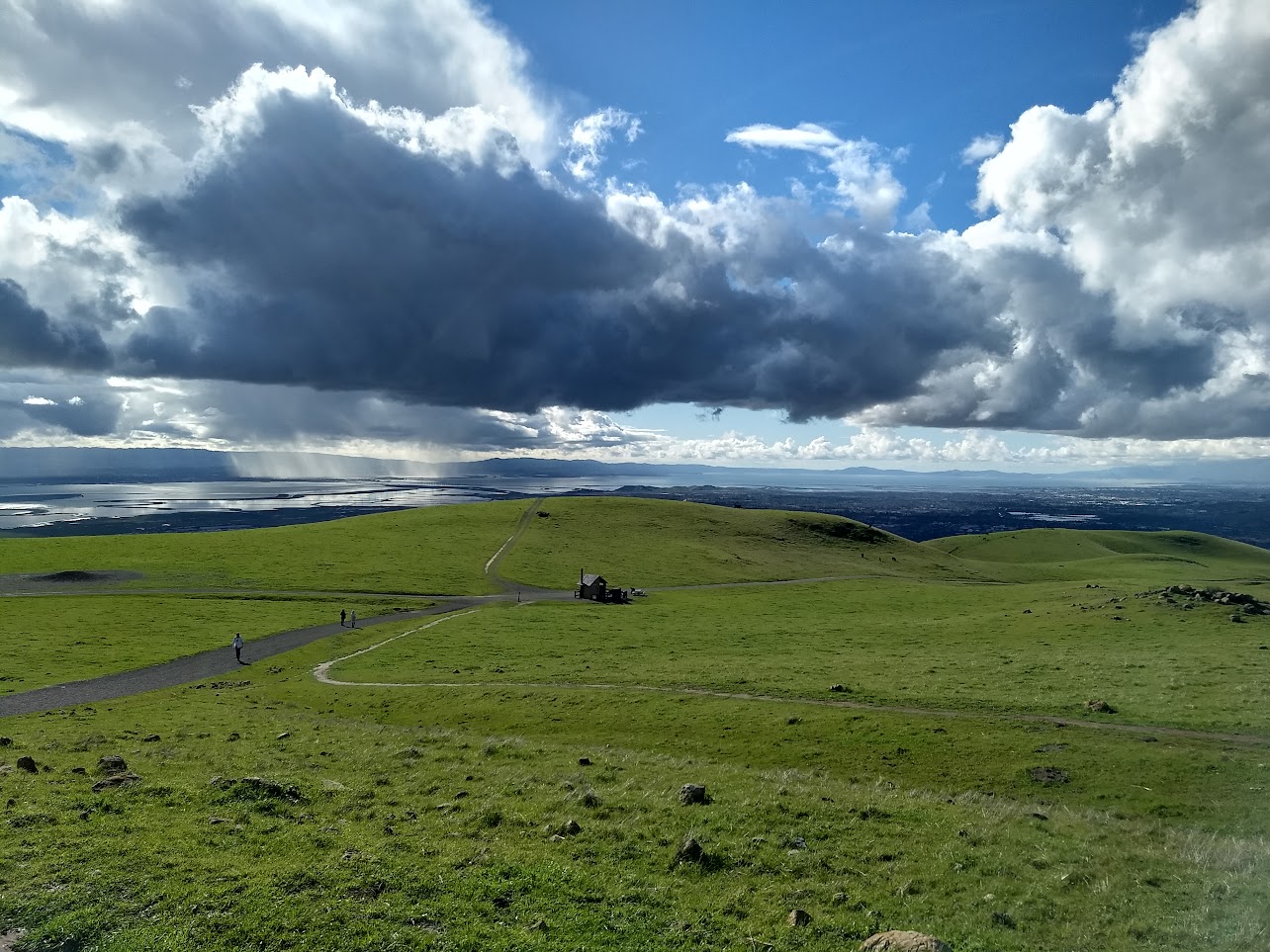
The famed Mission Peak attracts all sorts to reach its stony peak perched above Fremont. From the top, panoramic views of the Bay and of the Diablo Range await.
- 3.3miDistance
- hardDifficulty
- All weekTransit service
From MacArthur BART
To the trail
Travel time: 1h27min
Routes
Stops
Return trip
Travel time: 1h32min
Routes
Stops
Travel times are estimates from MacArthur BART.
Mission Peak is a classic of Bay Area hikes. It's perhaps <i>the</i> most hiked peak in the Bay, attracting not just regular hikers up its 2,517ft summit but families and couples angling to get their photo taken at the "Mission Peeker" pole located on the top. Along the way, hikers are treated to panoramic views first of southern Fremont, more of the southern Bay as they ascend, and just before the summit, the rugged Sunol Regional Wilderness to the east. Once at the top, the Santa Cruz Mountains are visible to the west, Mt Hamilton to the south, and on a clear day even the Sierra Nevada to the east.
Take plenty of water – 2 liters minimum – and sunscreen. There is no shade on the hike, and it is an unending steep climb punctuated by one flat section and two steeper sections. There are many benches installed along the way, so it's a great hill to practice hiking steep hills on.
The route as indicated here is a simple out-and-back from the bus stop located on Mission Blvd. This route is the main route up and down. For a change of pace, Horse Heaven Trail offers an alternative down from the summit, but sections of that trail are even <i>steeper</i> than the main trail.
For a shallower climb, AC Transit serves Ohlone College, where the Spring Valley Trail heads up toward the summit. The Park District recommends the Ohlone College start explicitly due to the difficulty of parking at the main trailhead. Unfortunately, that trail misses perhaps the most scenic element of the preserve, the visual drama of the peak's rugged face looming over the city of Fremont.
Mission Peak Regional Preserve map
The interactive route map and elevation profile require JavaScript. The GPX file remains available to download.
Loading route map…