Mount Diablo: Mitchell Canyon to Summit
Distance: 12.4mi (out and back)
Transit information
- County Connection 10 (weekday)
- County Connection 310 (weekend)
- Stop: Marsh Creek Rd and Bigelow St
- Travel time: 1h7min
Trailhead: Donner Creek Fire Road
Trailhead served: all week
Hike route: Open in Maps
Travel times are estimates from MacArthur BRT.
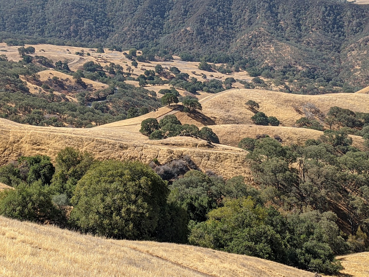
Mount Diablo State Park is the crown jewel of the East Bay. On a clear day, from the summit, 40 of California’s 58 counties can be seen, from the Golden Gate Bridge to the Sentinel Dome of Yosemite Valley (provided you have good binoculars). On the way up, you’ll pass classic East Bay chaparral and grasslands.