Dry Creek Pioneer Regional Park: Pioneer Trail Loop
Largely-shaded trails along creeks in classic East Bay rolling hills.
- 3.6miDistance
- easyDifficulty
- All weekTransit service
- 1Trailheads
From MacArthur BART
To the trail
Travel time: 54min
Routes
Stops
Travel times are estimates from MacArthur BART.
Dry Creek Pioneer Regional Park is a fantastic spot for a hike on a warm-but-not-hot morning or afternoon. This particular hike follows trails along two different creeks, and as such remains a comfortable hiking temperature further into spring than many hikes in the area. The whole area is grazed, so keep an eye out for cows along the trail.
AC Transit drops off right across the street from the main Dry Creek Staging Area. This allows the opportunity to hike all sorts of loops, including the 6-mile, 1200-ft elevation High Ridge Loop. There's also the possibility to hike northward and out to CSU East Bay for AC Transit 60 (also around 6-7 miles, depending on the route chosen).
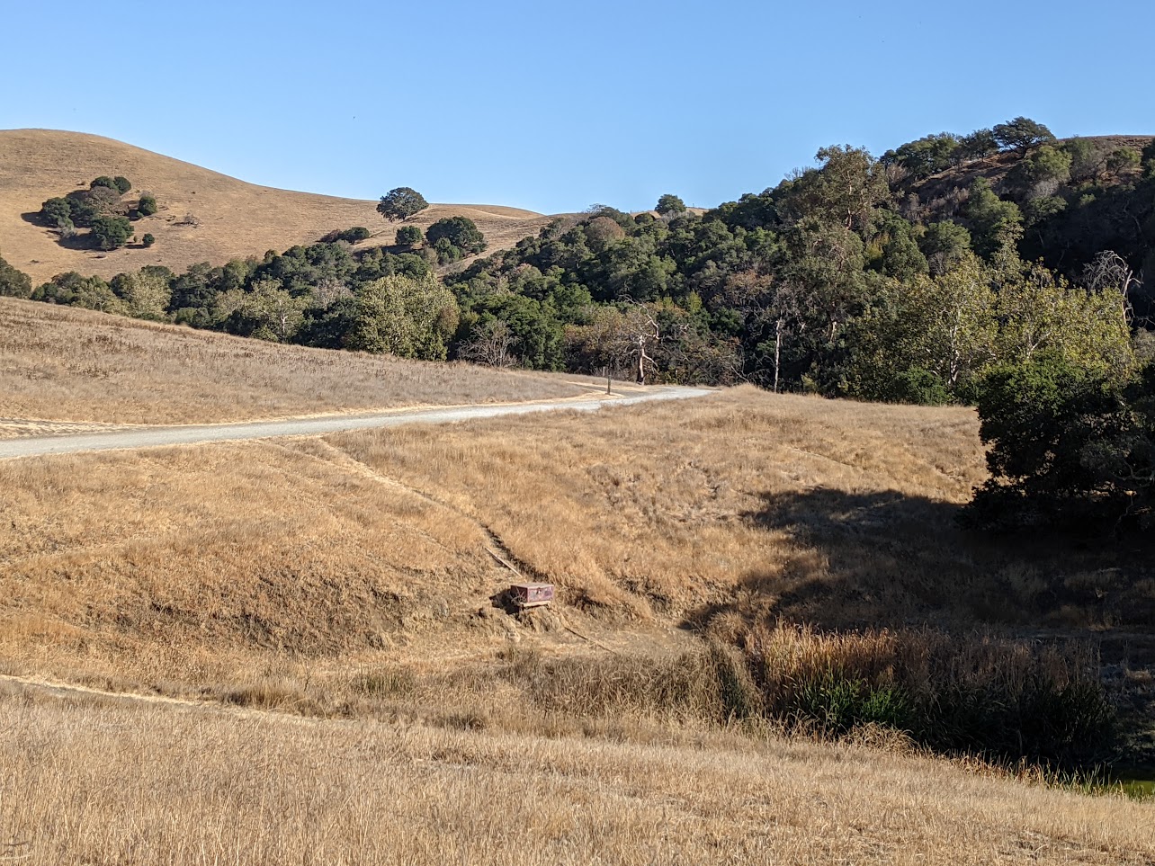
The hike as indicated here is one of the most basic loops in the park. To begin, the route follows the High Ridge Loop Trail from the entrance, following it as it turns up the first creek and dips into the surrounding woods. As it winds up the valley, the trail largely stays under treecover until the turnoff for the Pioneer Trail, just past a gate. The Pioneer Trail is a singletrack trail, working its way up to the top of the knoll (with some brief sun exposure) and then down the other side, following a tributary back down to the eponymous Dry Creek.
Once at Dry Creek, the path back to the staging area is a pleasant flat affair along ranch roads from the old Mays Ranch.
Dry Creek Pioneer Regional Park: Pioneer Trail Loop map
The interactive route map and elevation profile require JavaScript. The GPX file remains available to download.
Loading route map…