Take transit to the trail.

Find California hikes, parks, and trailheads you can reach by bus, train, or ferry.

Explore the mapBrowse transit-accessible hikes and trailheads across California
Recommended hikes

Recommended hikes

Hike the Bay Area

Explore redwoods, wetlands, oak savannahs, and more in our regional backyard.

south bay

Alum Rock: Penintencia Creek Trail

The Penitencia Creek Trail runs all the way from Berryessa BART into Alum Rock Park, and then up the narrow canyon parallel to the roadway

  • up to 7mi
  • easy

marin

Angel Island State Park

Island hikes of varying lengths with fantastic views of San Francisco and the greater Bay Area, plus historic buildings.

  • many options
  • moderate to hard

east bay

Black Diamond Mines: Clayton to Antioch

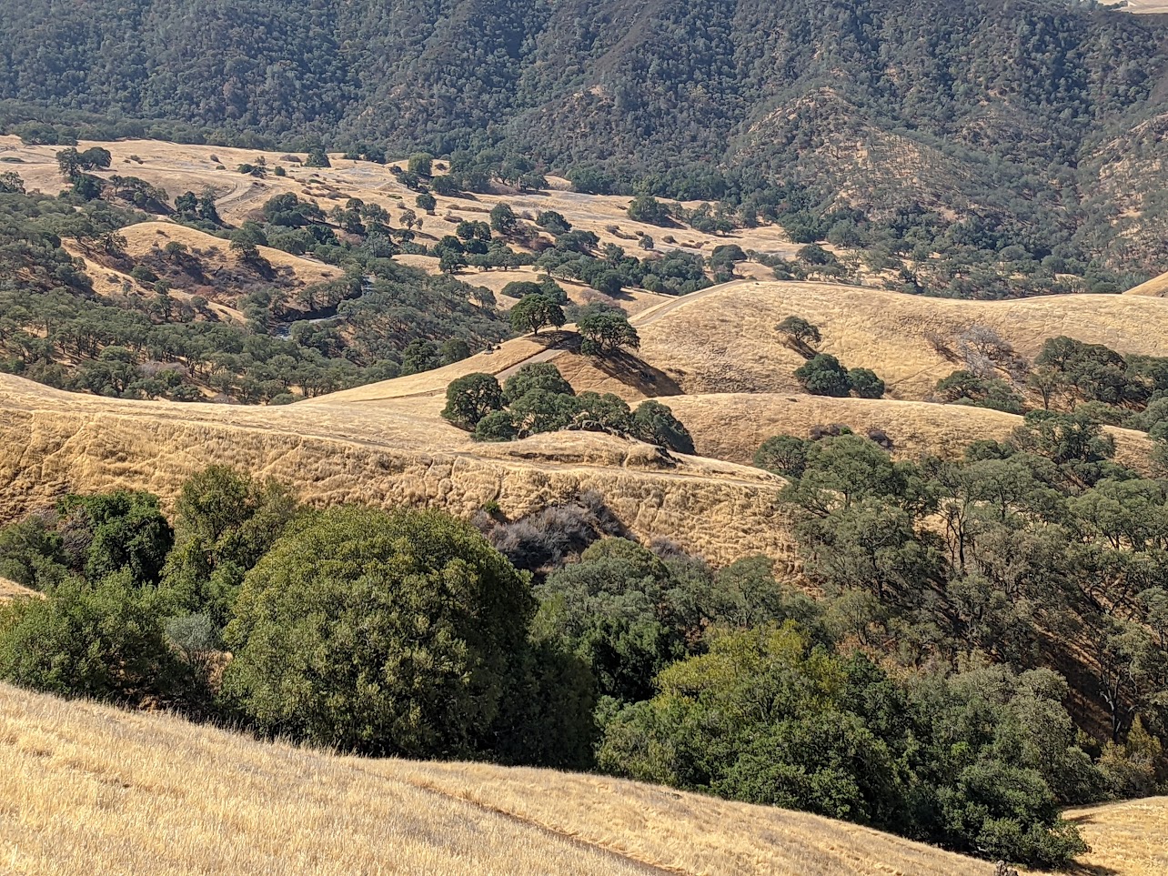
Isolated valleys, each with their own strong identity, make up Black Diamond Mines, with windswept grassland, woodland, chaparral, and even evergreen forest. Mining history permeates the area.

  • 10.4mi
  • hard

south bay

Coyote Valley: Arrowhead Loop

Coyote Valley Open Space Preserve offers views over Morgan Hill from its grassy and oaky shoulder.

  • 5.3mi (including walk to trailhead)
  • easy-to-moderate

east bay

Mission Peak Regional Preserve

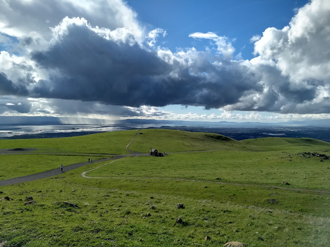
The famed Mission Peak attracts all sorts to reach its stony peak perched above Fremont. From the top, panoramic views of the Bay and of the Diablo Range await.

  • 3.3mi
  • hard

east bay

Mount Diablo: Mitchell Canyon to Summit

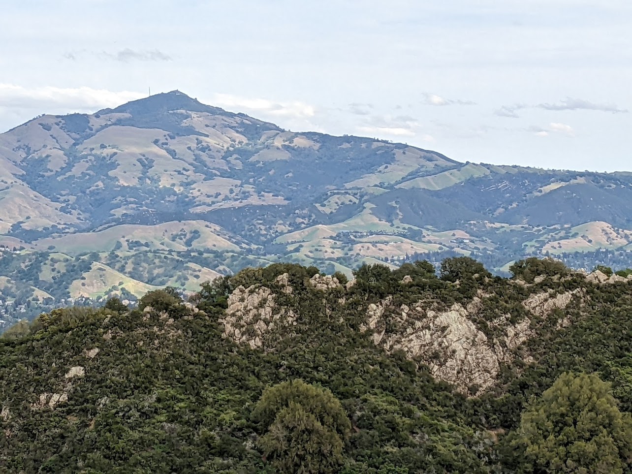
Mount Diablo State Park is the crown jewel of the East Bay. On a clear day, from the summit, 40 of California's 58 counties can be seen, from the Golden Gate Bridge to the Sentinel Dome of Yosemite Valley (provided you have good binoculars).

  • 12.4mi (out and back)
  • hard

marin

Mount Tamalpais: Pantoll to East Peak

An out-and-back hike up a nicely-graded rail trail to the highest peak in Marin with stunning views of the surrounding mountains and the San Francisco skyline.

  • 7.8mi (out and back)
  • moderate

east bay

Dr. Aurelia Reinhardt Redwood Regional Park

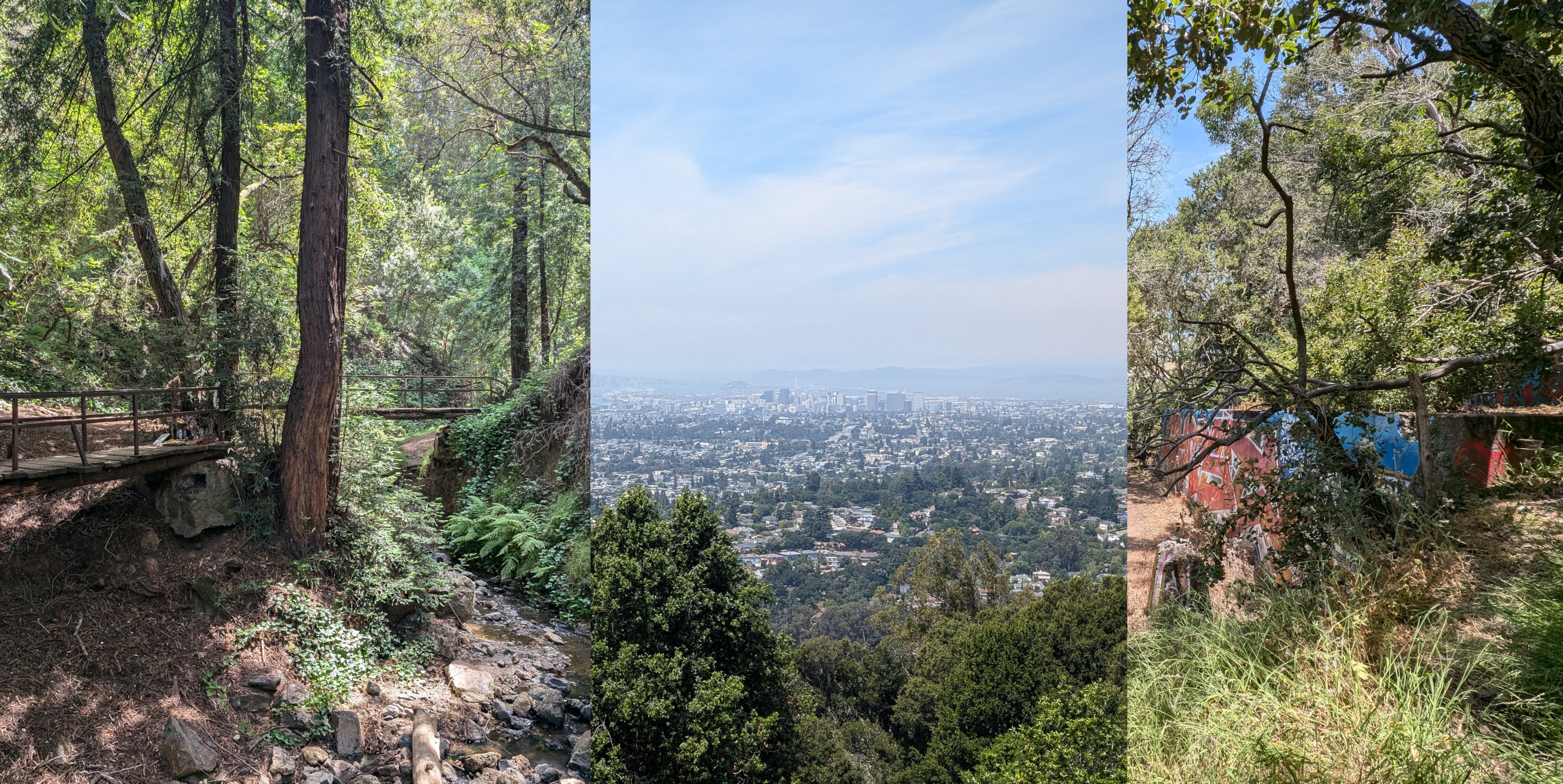
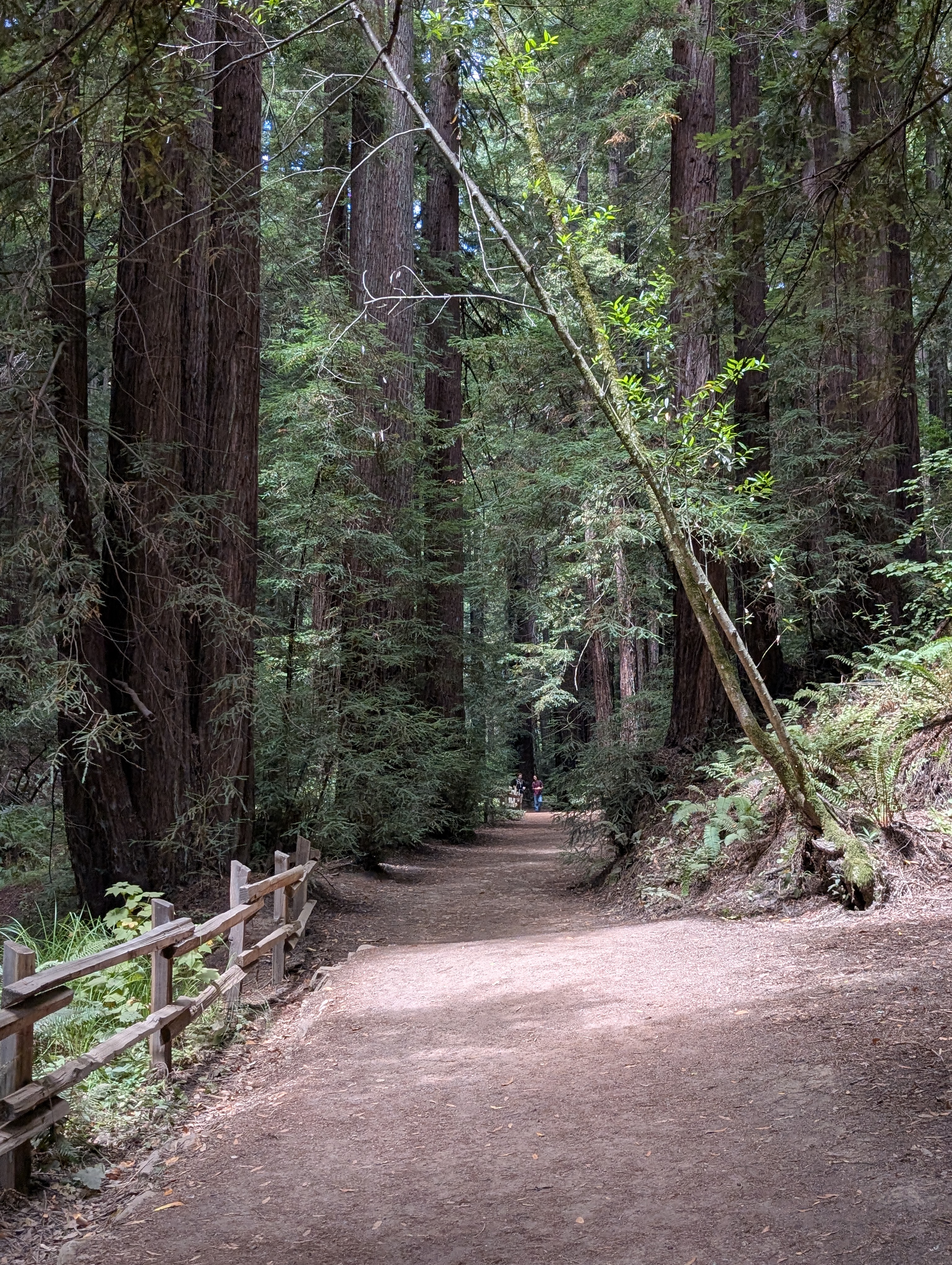
Redwood Regional Park offers trails for all levels of skills and abilities, plus a huge selection of recreation options including archery, a pool, a picnic area, and even the NASA Ames Visitor Center! Come enjoy the towering redwood groves that once built Oakland and San Francisco, or hike out to the East Ridge for sweeping views over the Bay.

  • 2.8mi
  • easy to hard options available

peninsula

San Bruno Mountain State & County Park

Just outside San Francisco, head up and over the chapparal slopes of San Bruno Mountain and enjoy 360° views of San Francisco, South City, and beyond.

  • 6.2mi
  • hard

south bay

Santa Teresa: Bernal Loop

Santa Teresa County Park, on the far southern end of San José, has sweeping, seemingly endless views of the valley.

  • 6.2mi (including walk to trailhead)
  • moderate

From Hiking by Transit

Latest posts

View all posts