Wildcat Canyon Regional Park
- Routes to the trail:
- AC Transit 72
- Stop: San Pablo Av & Mc Bryde Av
- Travel time out: 10min
- Routes back from the trail:
- AC Transit 72
- Stop: San Pablo Av & Tulare Av
- Travel time back: 11min
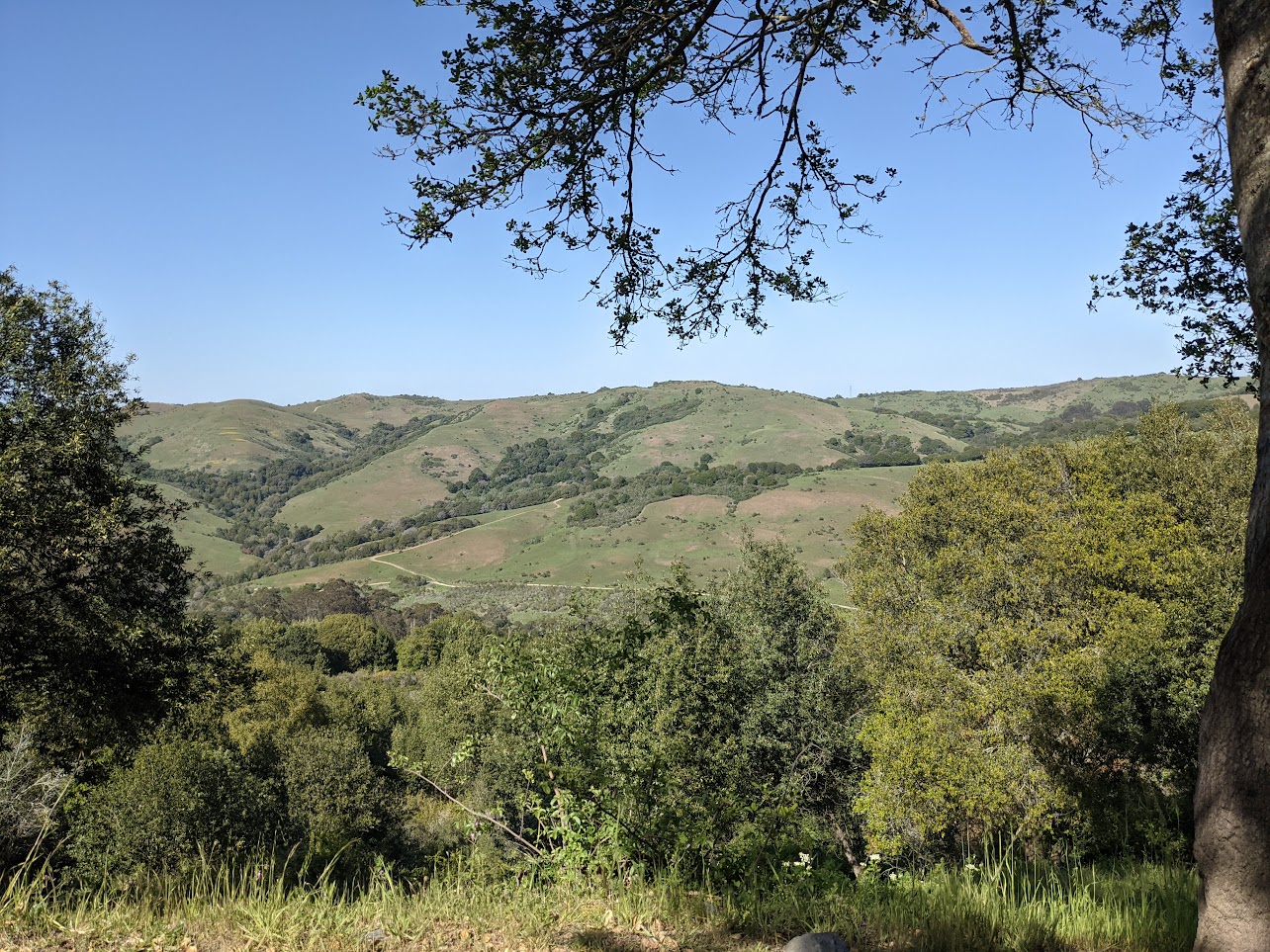
Wildcat Canyon offers hikes at all levels and abilities. The main entrance opens onto Wildcat Creek Trail, which is a flat, formerly-paved road. Eventually, it turns into a still quite flat gravel fire road, though certainly with occasional rises and dips, that you could follow all the way up to Tilden Regional Park. A walk following the indicated path below from the bus, through the entrance (the Alvarado Park area), and out some distance along Wildcat Creek Trail is a fantastic walk in the park.
If you’re looking for views and some altitude gain, upon entering, the hike below follows the Belgum Trail up to the ridgeline. Named after the sanitarium that used to occupy part of the property, the trail passes remnants ranging from parts of stone walls to fruit and palm trees once planted in the area. Don’t forget to turn around for views of Richmond and the San Pablo Bay!
The patches of trees grow less frequent as you head up. Keep an eye out for wildflowers in the spring, or for the next patch of shade in the summer. At the junction near the top, there are three options for continuing: head around the back and up (steeply up) the San Pablo Ridge Trail, which offers views around the northeast toward El Sobrante; head up the steep narrow trail along the actual ridgeline; or take the trail handily signposted Single Track - Not Maintained, which heads flatly along the shoulder of the hillside to a watering hole, after which you’ll need to take a short connector up to meet the other two trails. It’s this last option that is indicated below, as it is the least steep and most enjoyable of the options.
At the intersection with the Mezue Trail, take a sharp right. Keep an eye out for the Oakland skyline poking over the ridge to the south as you head down the hill back to Wildcat Creek Trail. If you’re interested in one more hill climb, consider taking Rifle Range Road Trail, a neighborhood connector up to Arlington Blvd, where AC Transit 7 connects back to El Cerrito del Norte and Downtown Berkeley BART stations. Or, take the Wildcat Creek Trail back to the park’s main parking lot, and dip up to North Arlington Blvd through the eucalyptus at Alvarado Park to catch a different route back to the bus on San Pablo Ave.
At many points higher up on the hike, you can see single track trails winding across hillsides. These trails generally do connect through between the various trails up and down. Wildcat Canyon is in general a good park to practice exploring off the most official trails, with there always being another trail up or down not too far away, and the ridge and creek trails above and below you.