Briones: Walter Costa to Lafayette Ridge loop
- BART Yellow line
- Stop: Lafayette BART
- Travel time: 13min
Lafayette is interesting. It’s a town fiercely proud of its beautiful surroundings, and over the years has developed a pretty broad network of feeder trails leading into the parks surrounding it on either side.
This hike uses two of those feeder trails: on the west side, the Walter Costa Trail, and on the east side the Peter Jakovina Trail. These allow you to cut through hilly exurban developments and into Briones Regional Park on the north end of town. If you take this route clockwise, you start by climbing up and over Quail Ridge between Hwy 24 and Happy Valley, then down a short ways into Happy Valley before ascending again into Briones.
The unfortunate thing about this route is that it takes quite a while to get out of the developed areas of town, though it’s plenty beautiful whilst you’re in them anyways. It’s also one heck of a steep hike.
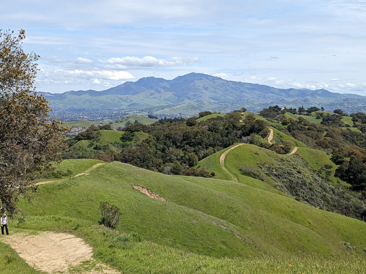
For strong hikers, the panoramic views from the trails make it worthwhile. On the ascent into Briones, you’re treated to views of Mt Tam peeking up above the Berkeley Hills, and on the descent you can see the future Thurgood Marshall Regional Park, Mt Diablo, and Las Trampas. In spring, Briones is one of my favorite places to see wildflowers, as well.