Region
Marin
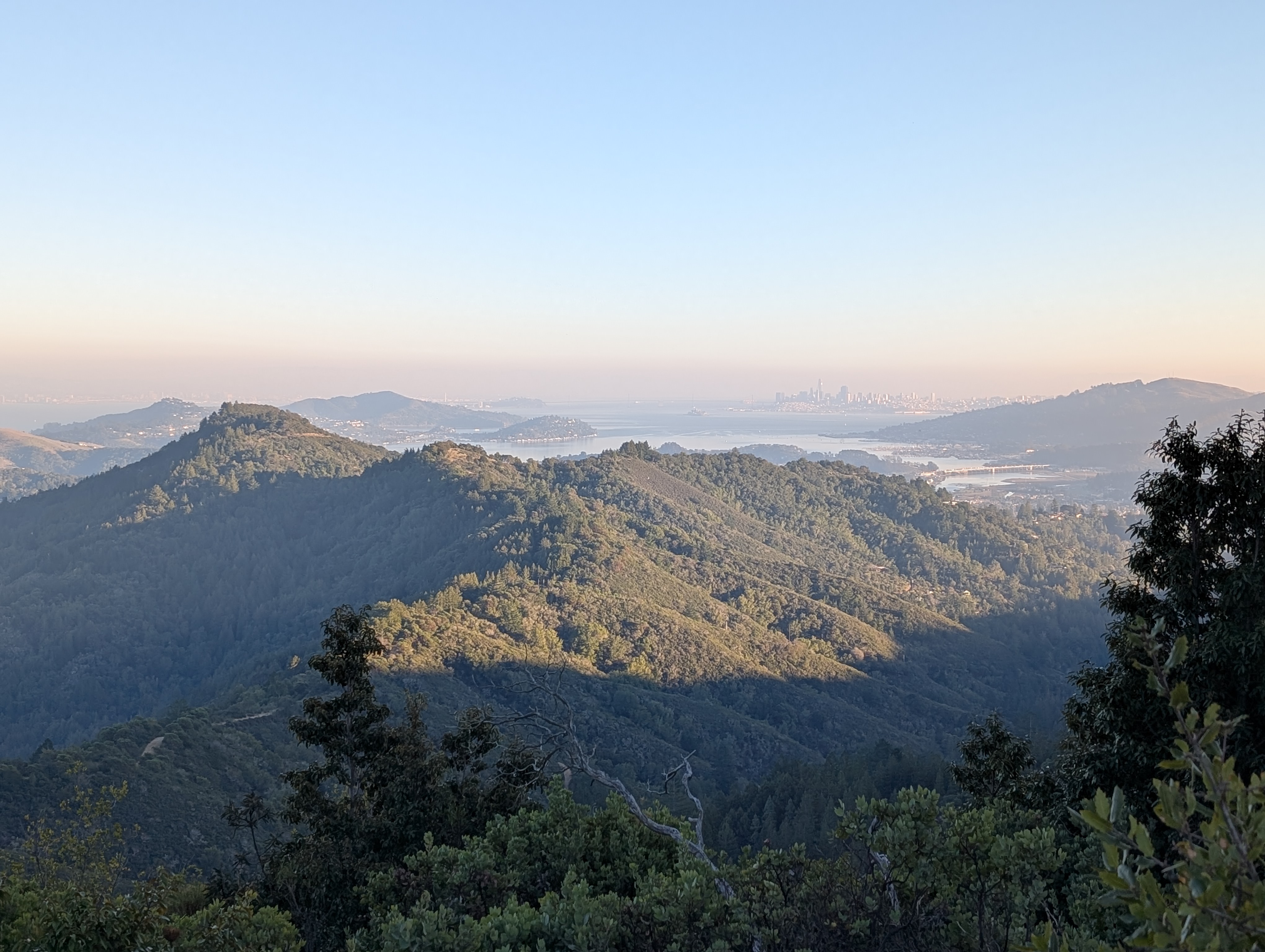
Marin County is perhaps the most popular outdoors destination in the Bay Area, and for good reason. A quick trip across the Bay from San Francisco drops you almost immediately in world-famous redwoods, atop mountains with 360-degree views of San Francisco, Oakland, and far beyond.
Thanks to its restrained development patterns and aggressive preservation campaigns, Marin has small suburban developments tucked directly against impressive preserves and open spaces nearly everywhere. Though getting to the county from elsewhere can be difficult by transit, once there, the Marin Transit bus system provides access to many popular hiking destinations.
Marin Transit maintains an up-to-date list of transit routes to parks. Visit Marin Transit's transit-to-parks guide for more inspiration.
Recommended hikes
Marin
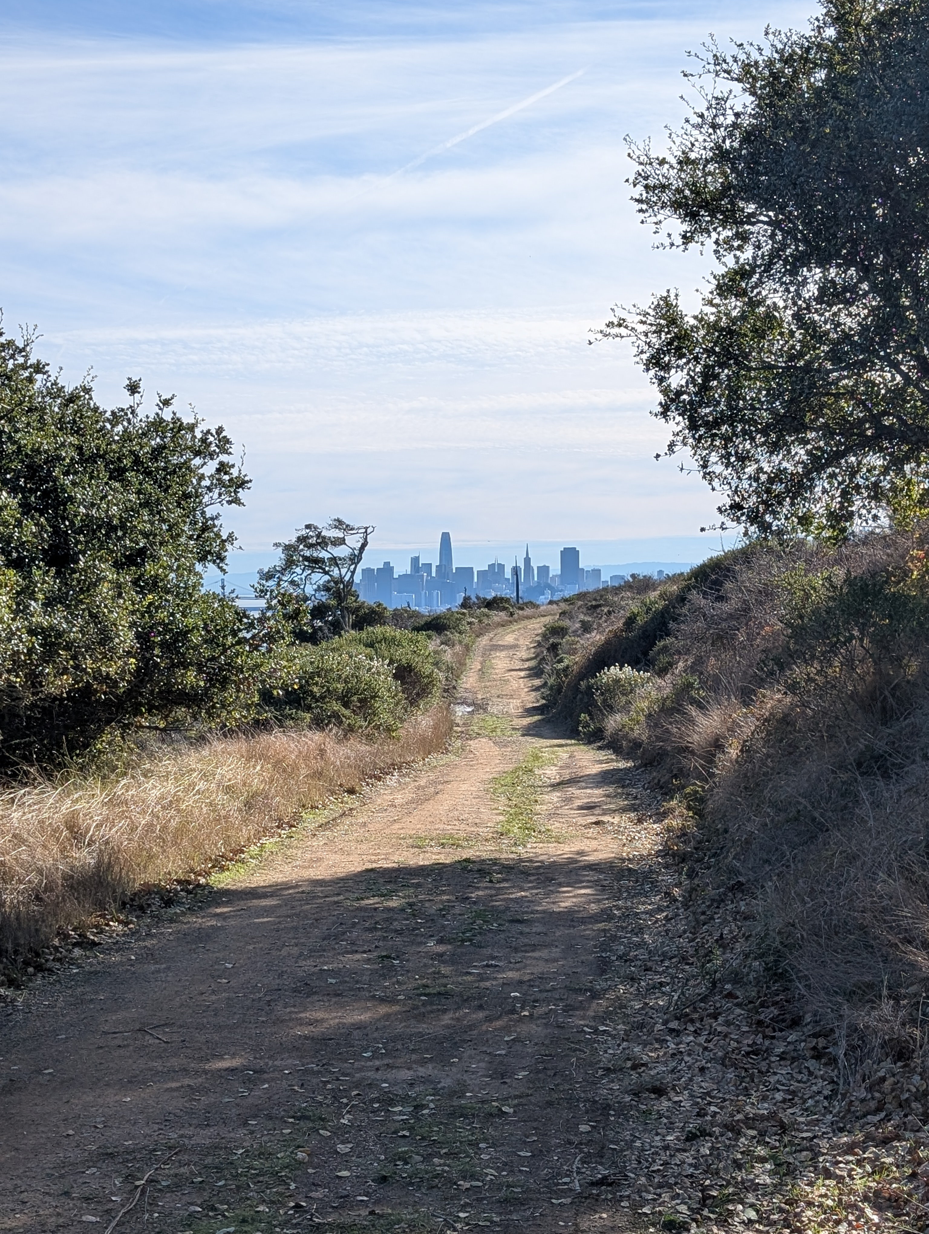
Angel Island State Park
Island hikes of varying lengths with fantastic views of San Francisco and the greater Bay Area, plus historic buildings.
- many options
- moderate to hard
Marin
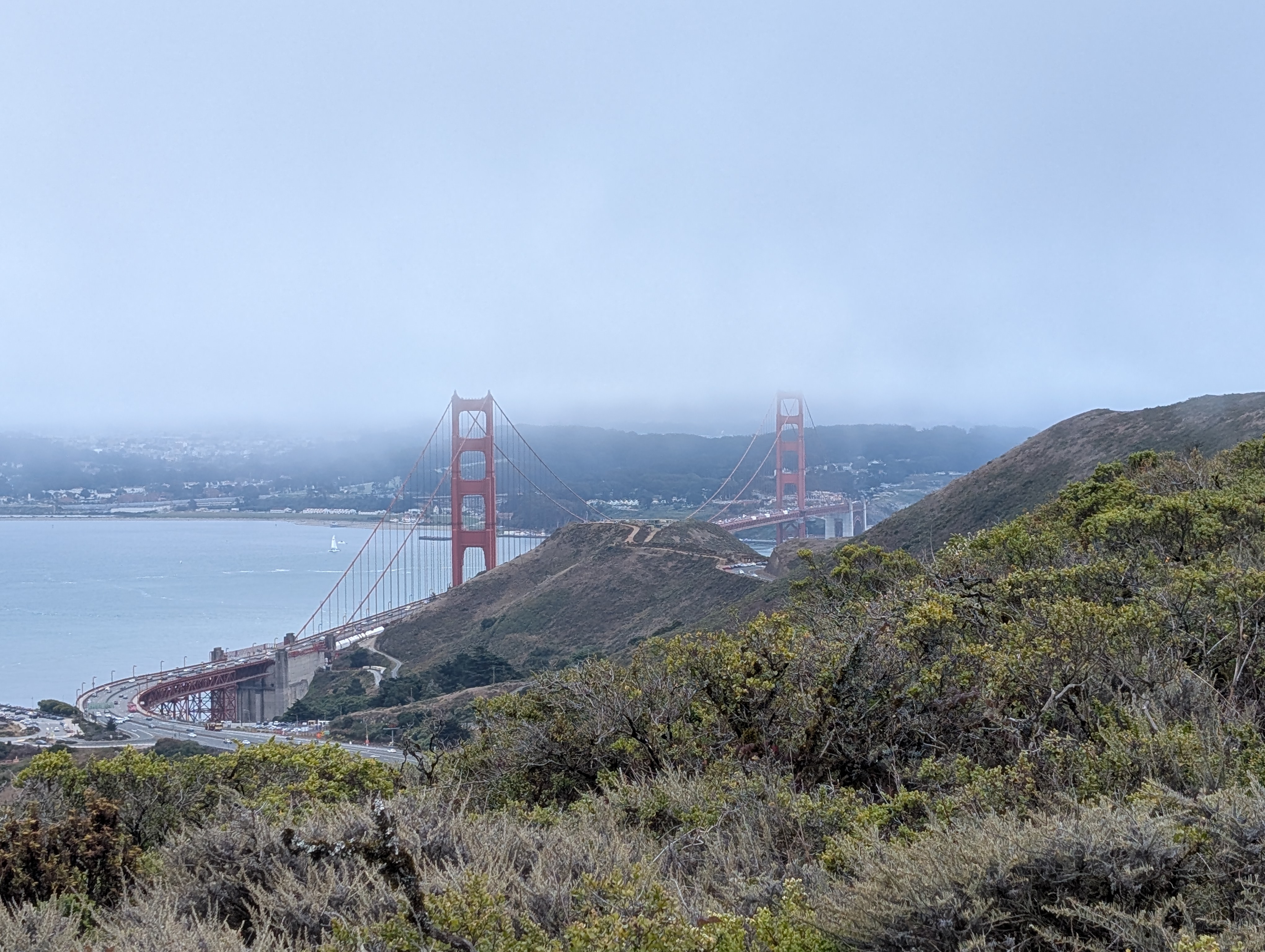
Marin Headlands: Golden Gate Bridge to Marin City
See the Golden Gate Bridge and hike up into the Marin headlands for expansive views of San Francisco, the bridge, and the Bay.
- 5.7mi
- easy
Marin
Mount Tamalpais: Pantoll to East Peak
An out-and-back hike up a nicely-graded rail trail to the highest peak in Marin with stunning views of the surrounding mountains and the San Francisco skyline.
- 7.8mi (out and back)
- moderate
Marin
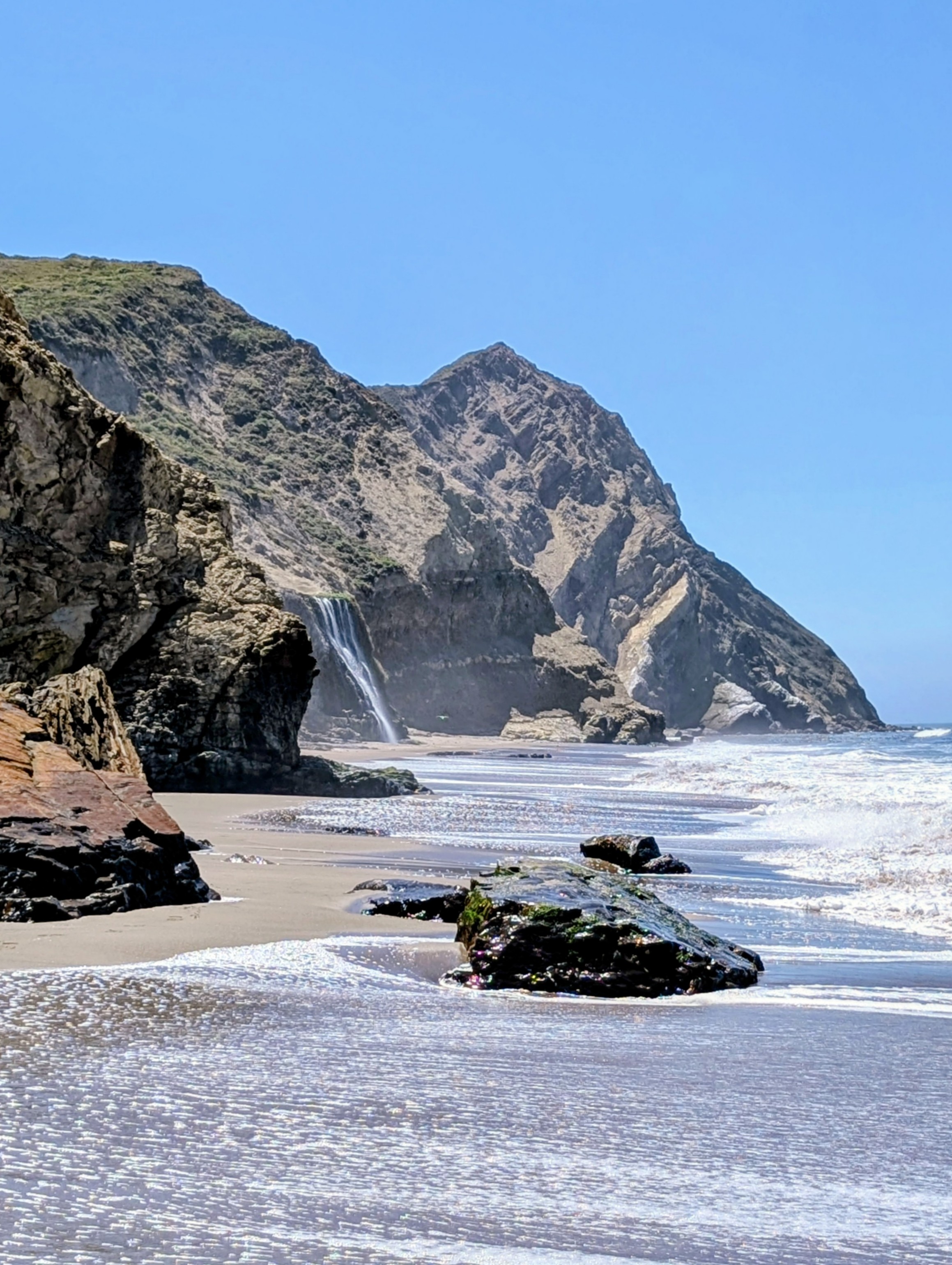
Point Reyes National Seashore: Alamere Falls
Point Reyes National Seashore is famous for this coastal waterfall, one of only two in the state.
- 15.7mi (out and back)
- hard
Trailheads in Marin
The interactive map requires JavaScript. Browse the hike guides or use the trailhead records instead.
Loading map data…
Use two fingers to pan the map.
Drag to pan. Hold Ctrl or ⌘ while scrolling to zoom.
Trailhead results
No trailheads are visible in this map area. Pan or zoom out to find results.