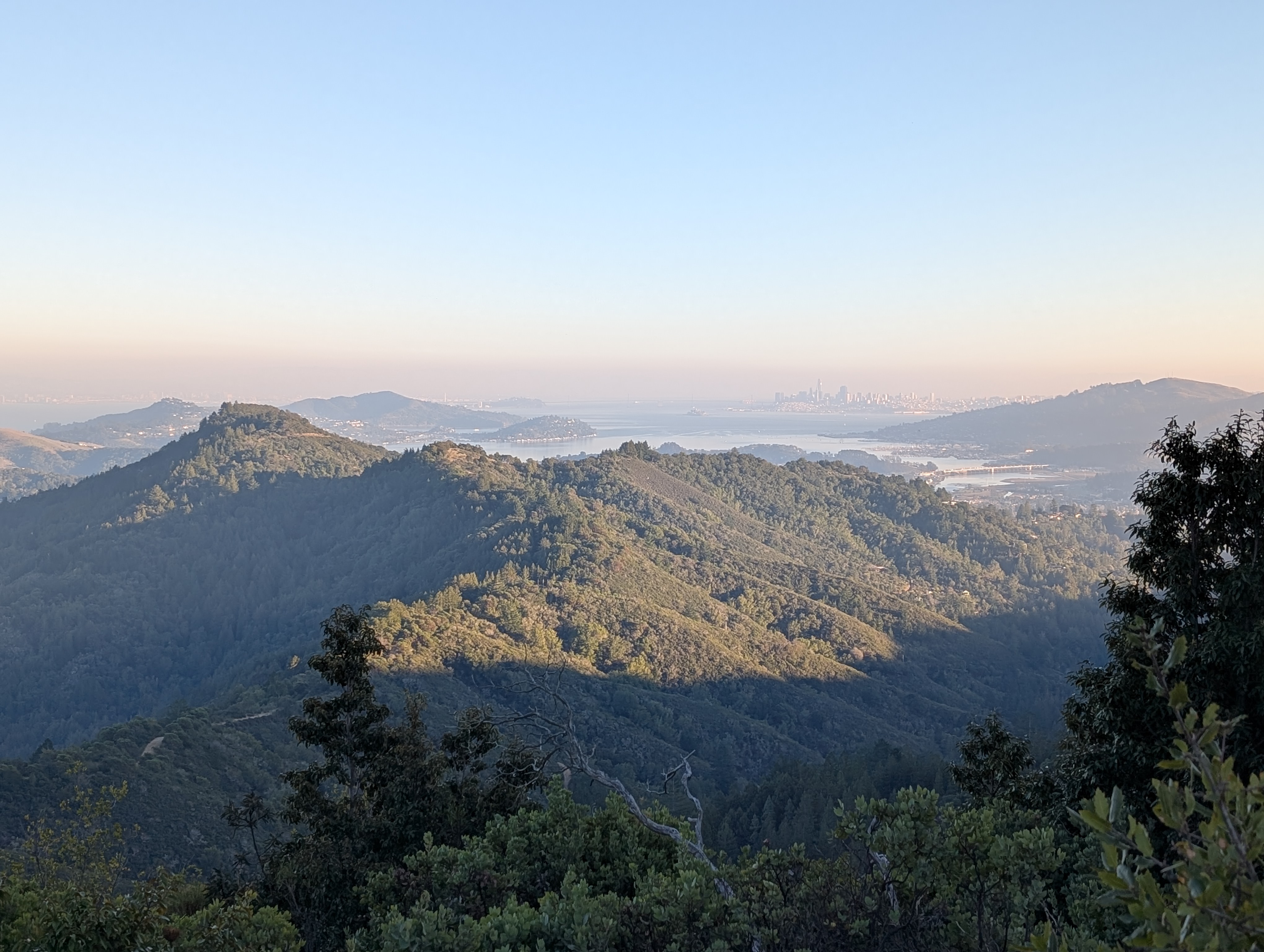
Mount Tamalpais: Larkspur to East Peak

- Length: 9.0mi (out and back), 5.7mi (one way to Panoramic Hwy/Hog Back Rd)
- Travel time: approximately 45min from Sausalito Ferry Terminal
- Stop served: daily
- Google Maps:
- Park information
- Hike route
Marin Transit 22 serves this stop every day of the week. Catch it in downtown San Rafael if coming from the north or east, or at Marin City Transit Center if coming from the south or San Francisco.
Mount Tamalpais – Mt Tam between friends – needs no introduction to Bay Area hikers. The views from the top are stunning panoramic views of nearly the entire northern half of the Bay Area. This hike climbs from nearly sea level to the top of the East Peak, where you’ll have definitely earned the view. Take your time, and if necessary do not hestitate to take the longer, shallower railroad and fire road grades.
For a slightly longer hike, continue downhill and south to the bus stop at Panoramic and Muir Woods Rd, where you can catch Marin Transit 61 to Sausalito or to Marin City.