Doing the 2026 East Bay Parks Trails Challenge car-free
12 Jan 2026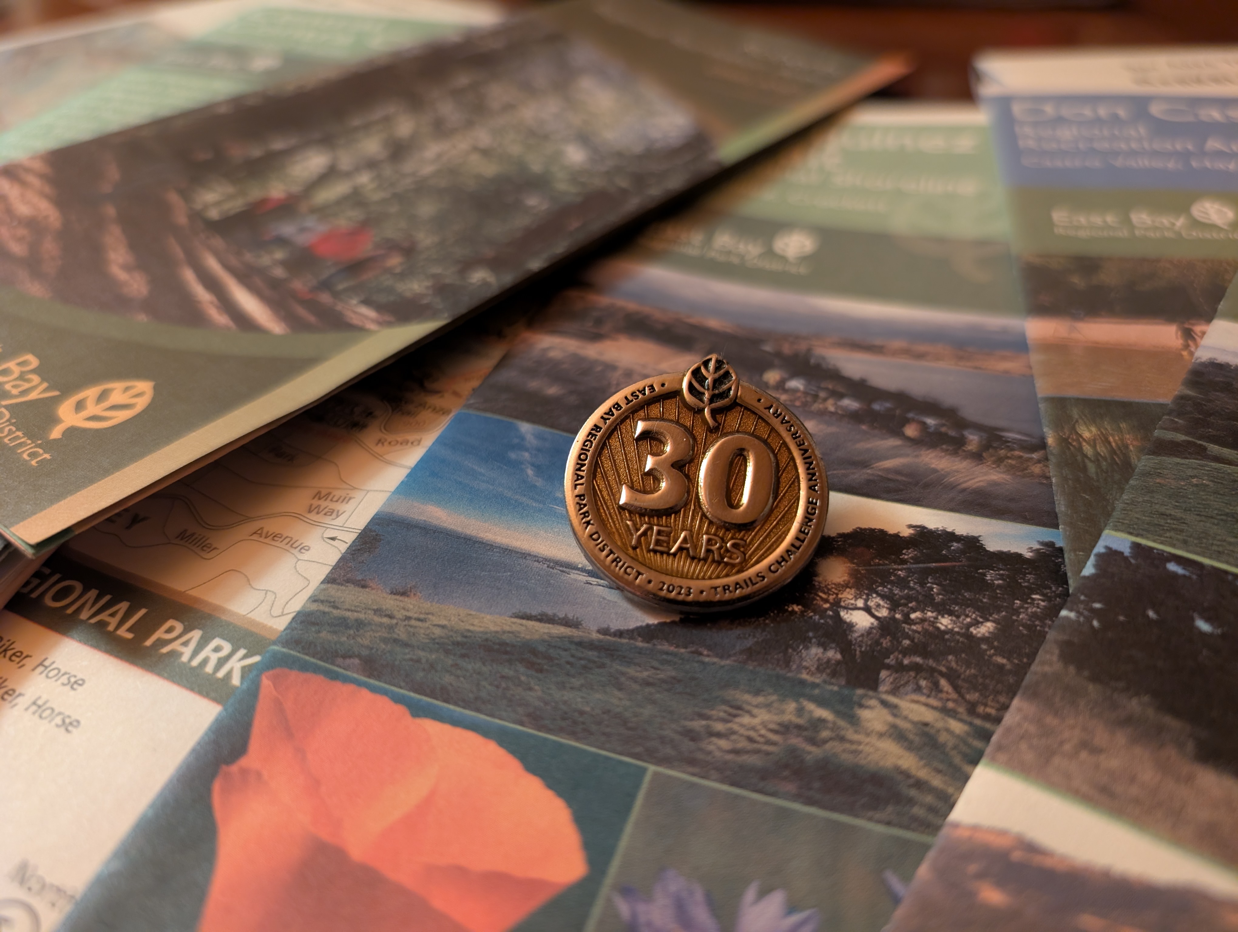
The New Year has arrived, and with it the East Bay Regional Park District’s 2026 Trails Challenge. The annual Trails Challenge provides a set of 20 curated hikes for all levels, and encourages residents of the East Bay to get outdoors, visit new parks, and enjoy the fruits of generations of preservation-minded advocates and officials. For those who complete the challenge of walking, rolling, or riding five trails or 26.2 miles, a commemorative pin and raffle for various prizes awaits.
The East Bay’s parks back right up into our neighborhoods. This gives hikers the extradordinary ability to walk out their doors and onto the trails, or for parks further away, to take the bus to a neighborhood bus stop and walk to trails, nearly anywhere in the region – including many of the trails in this year’s Trails Challenge guidebook.
This post is intended as an unofficial companion for the official Trails Challenge 2026 guidebook: more information about the following hikes is available there.
There are so many other beautiful parks in the East Bay that are also transit-accessible. Visit the East Bay Hikes page to find more hikes around the region!
Contra Costa Canal Trail
The Contra Costa Canal Trail is one of many paved trails in the Diablo Valley. The Canal Trail forms something of a necklace running along the west side of Pleasant Hill down from Highway 4 to the northern reaches of Walnut Creek, around to Lime Ridge, and up to Willow Pass Road. The paved, well-maintained path follows a canal, meaning the trail is quite flat, making it an easy hike for its length.
This walk starts at Pleasant Hill BART, following the Iron Horse Trail over Treat Blvd to meet the Contra Costa Canal Trail. From there, you can follow the canal through quiet neighborhoods and enjoy oaks and willows and the wildlife that inhabits them. As an out-and-back walk, walk as far as you want, then turn around and head back to BART. The turnaround point chosen here is not far after the route turns after reaching the Lime Ridge Open Space, which provides a natural stopping point.
Intensity: Easy
Travel time: Start at Pleasant Hill/Contra Costa Centre BART!
From: Pleasant Hill/Contra Costa Centre BART
Length: suggested at 7.6mi, more or less as desired
GPX: Download hike
Read about this hike in the Guidebook »
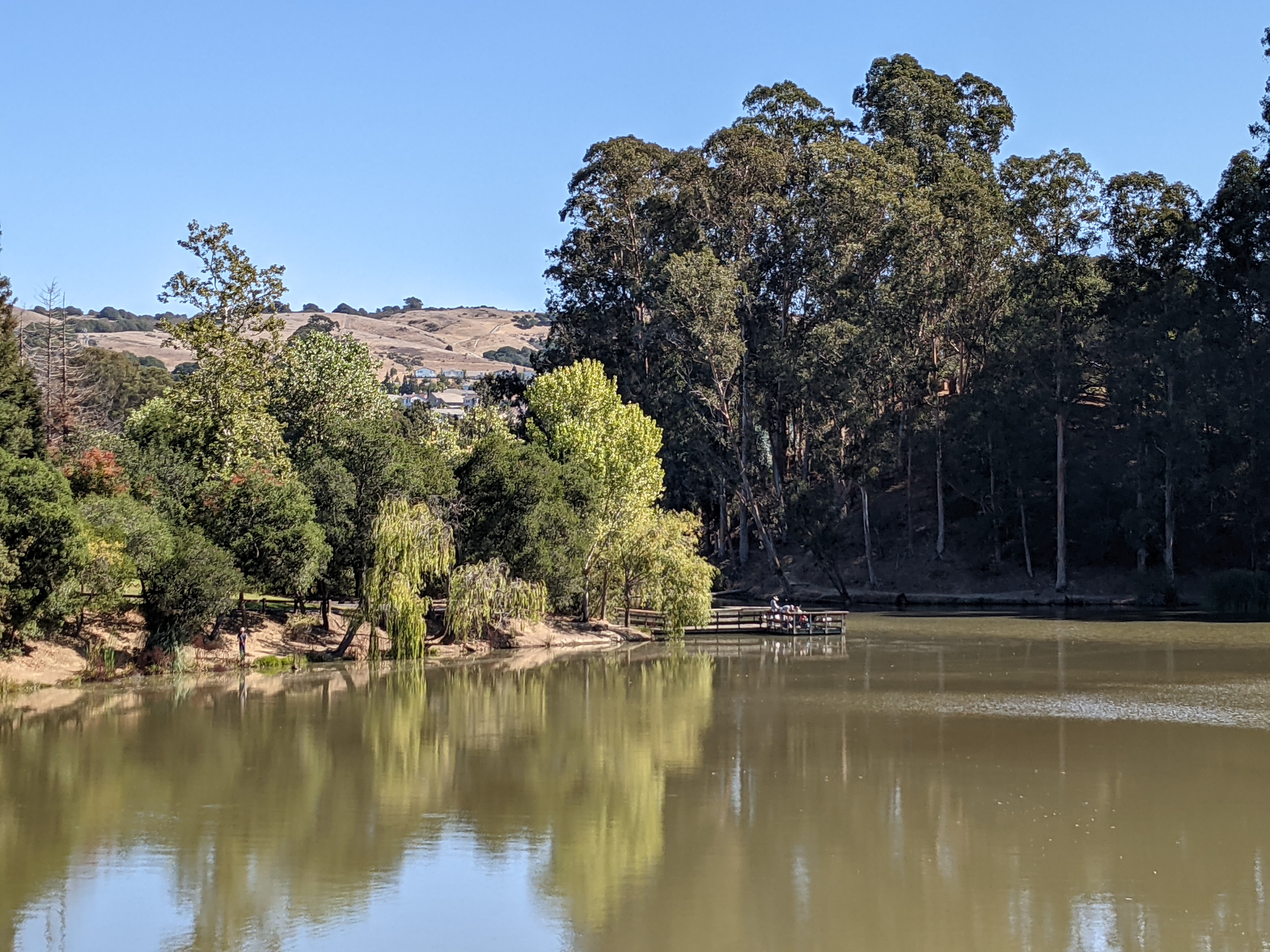
Don Castro Regional Recreation Area
Don Castro hides a lake, tucked away inside the San Lorenzo Creek watershed. The park is just large enough to feel like an oasis and host plentiful bird species: the Trails Challenge guidebook lists all sorts, from ones found at the water like cormorants and mallards, to raptors overhead, to songbirds. Accessing the park from AC Transit is a simple affair, up a neighborhood street and in on a neighborhood trailhead.
The walk from the bus stop on Kelly St to the trail looping around the lake is a quiet walk down a residential street to the local neighborhood back entrance to the park.
Intensity: Easy
Travel time: 11min on AC Transit 95
From: Hayward BART
Length: 2.4mi, including 0.25mi each way to/from the bus
GPX: Download hike
Read about this hike in the Guidebook »
McLaughlin Eastshore State Park
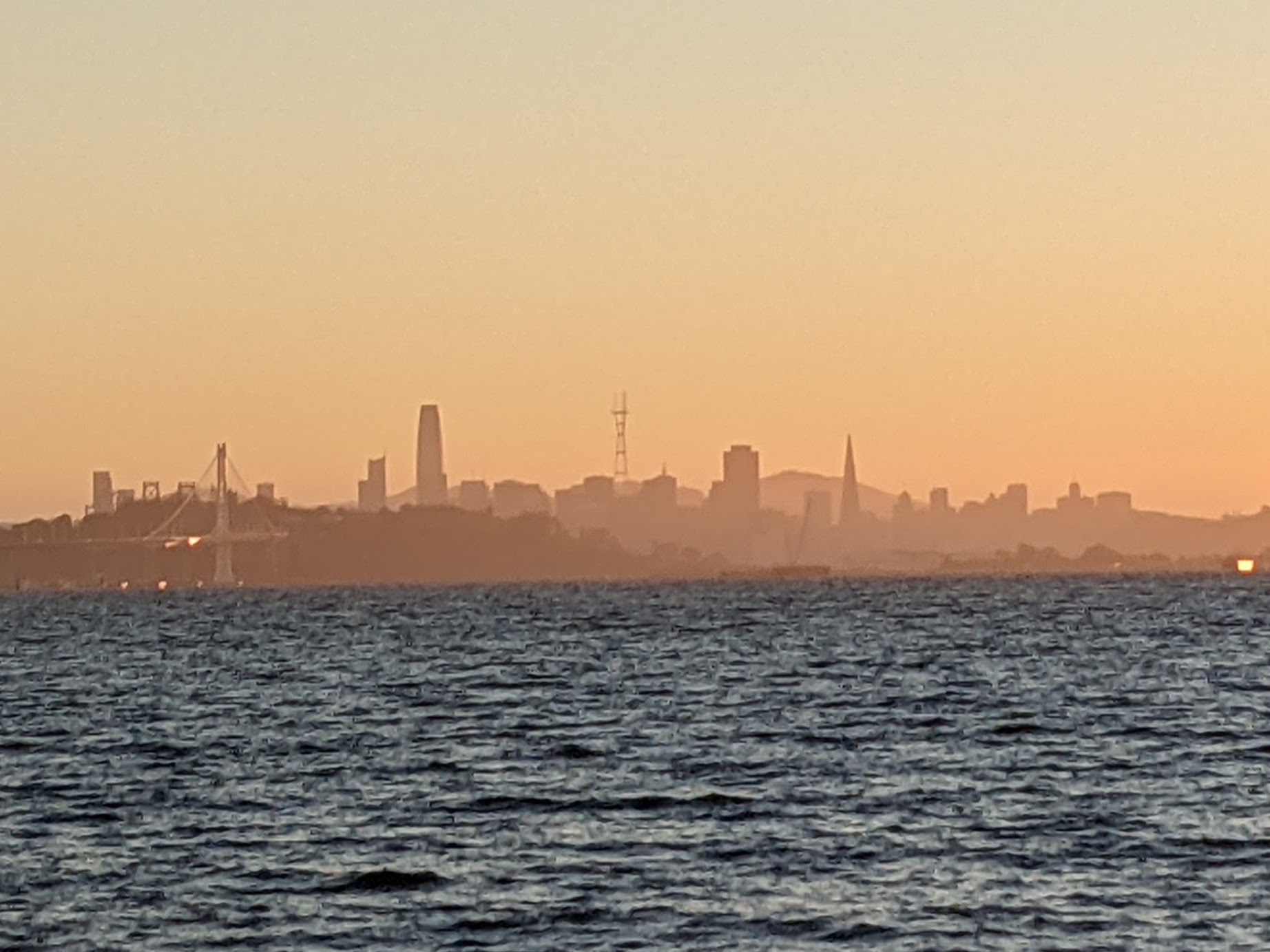
This hike takes you along a key part of the 350-mile San Francisco Bay Trail. From the end of line 12, a quick walk up to and over the brand-new Gilman Street overpass leads you to the path, which then takes you out to the shoreline. This section of Bay Trail is quite unique, as it goes up and over Fleming Point, a rocky promontory that is perhaps the only remaining original section of East Bay shoreline.
When the San Francisco skyline isn’t hidden away in fog, this is perhaps the best place to see it: in the evening, the warm glow of the sky can make the fading blue hues of the city and hills pop. This route starts at the end of Line 12 and goes over the new Gilman Ave Overcrossing path to meet the Trails Challenge route at its southern end.
Intensity: Easy
Travel time: 15min on AC Transit 12
From: Downtown Berkeley (MLK Jr Way & University Ave)
Length: 3.1 miles, including 0.5mi each way to/from the bus
GPX: Download hike
Read about this hike in the Guidebook »
Carquinez Strait Regional Shoreline
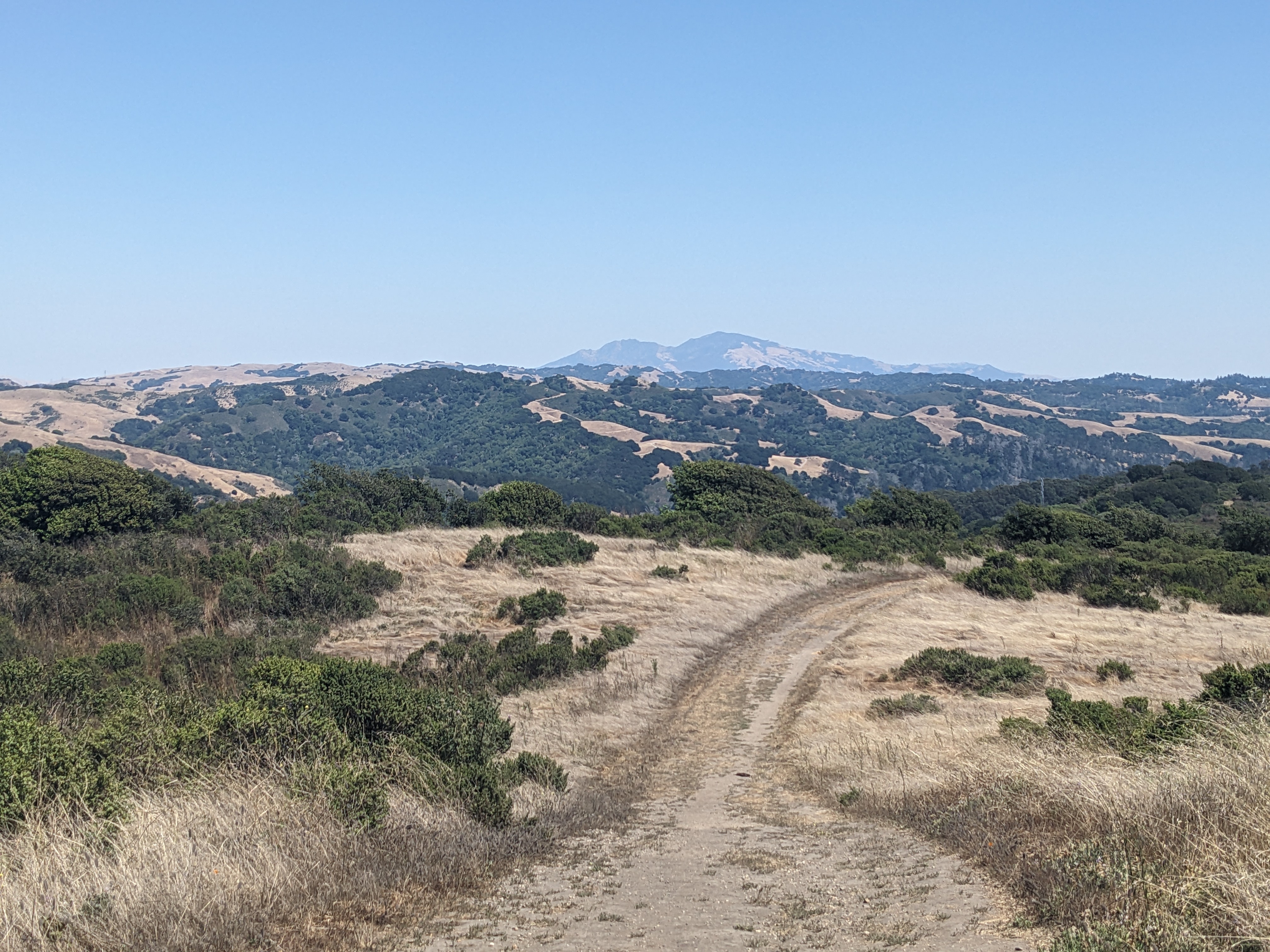
The East Bay’s fabulous grassy hills and oak woodlands set the scene for any hike around the Carquinez Strait. This hike takes you up to the top of the Old Martinez Summit, providing views of the surrounding communities and toward the east over the Carquinez itself. The East Bay’s grasslands come alive over the course of winter rains, and are later joined by a brief month or two of wildflowers before drying up as the dry season begins.
Amtrak Capitol Corridor and Gold Runner trains serve Martinez station, as do County Connection lines 16, 28, and 316. It’s a short walk through downtown Martinez from there to the trailhead.
Intensity: Moderate
Travel time: Start at Martinez Amtrak! (Accessible via Amtrak trains and County Connection buses)
From: Martinez Amtrak
Length: 4.8mi, including 0.3mi each way to/from the station
GPX: Download hike
Read about this hike in the Guidebook »

Lafayette-Moraga Regional Trail
The Lafayette-Moraga Regional Trail is part of the former route of the Sacramento Northern Railway, an electric interurban that used to run from Temescal and through Montclair in Oakland, through a tunnel to Canyon, and down to Walnut Creek before carrying on northward to Pittsburg and to Sacramento itself. Today, that route is made up of several rail trails and part of the BART Yellow line.
From the station to meeting the Trails Challenge hike, this route follows city streets through Downtown Lafayette before cutting into the neighborhood for access to the Trail.
Intensity: Moderate
Travel time: Walk from Lafayette BART!
From: Lafayette BART
Length: 6.0mi, including 0.8mi each way to/from the station
GPX: Download hike
Read about more about the area in the Guidebook »
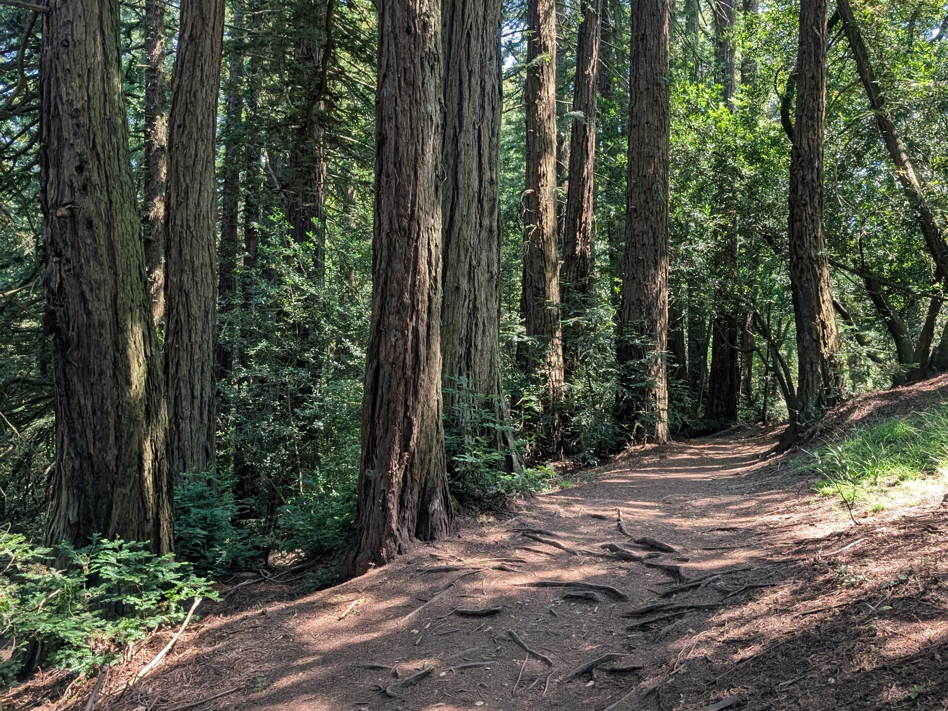
Roberts Regional Recreation Area
The Roberts Regional Recreation Area serves as a gateway to the East Bay’s biggest continuous redwood forest. This is an absolute must-do hike, which takes you most of the way down into the Redwood Creek valley. It’s a great all-season hike, but drizzly redwood winters are one of the best parts of living in the Bay Area year-round.
The bus drops off directly at the trailhead. For a bonus, if you’re feeling adventurous, don’t bother following a map, but just point yourself downhill to the northeast and see what you find. (Make sure you have enough of a sense of where you’re going to be able to get back!)
Intensity: Moderate
Travel time: 30min on AC Transit 31
From: Fruitvale BART
Length: 5.1mi. Bus drops off at trailhead!
GPX: Download hike
Read about this hike in the Guidebook »
Tilden Regional Park
The East Bay Park District’s most talked-about park would have to be Tilden. This park’s 2000 acres of forest and grassland draped over the ridgelines above Berkeley offer all of the greatest amenities a mid-20th century nature park could have: farm animals to feed, carousels to ride, and even the Redwood Steam Train. This hike starts in the furthest reaches of Berkeley development, immediately turning downhill into the Tilden Nature Area before meeting the Trail Challenge hike route for the ascent up Meadows Canyon Trail.
Intensity: Challenging
Travel time: 16min on AC Transit 67, WEEKDAY ONLY
From: Downtown Berkeley BART
Length: 8.5mi, including 0.2mi walking to/from the bus
GPX: Download hike
Read about this hike in the Guidebook »
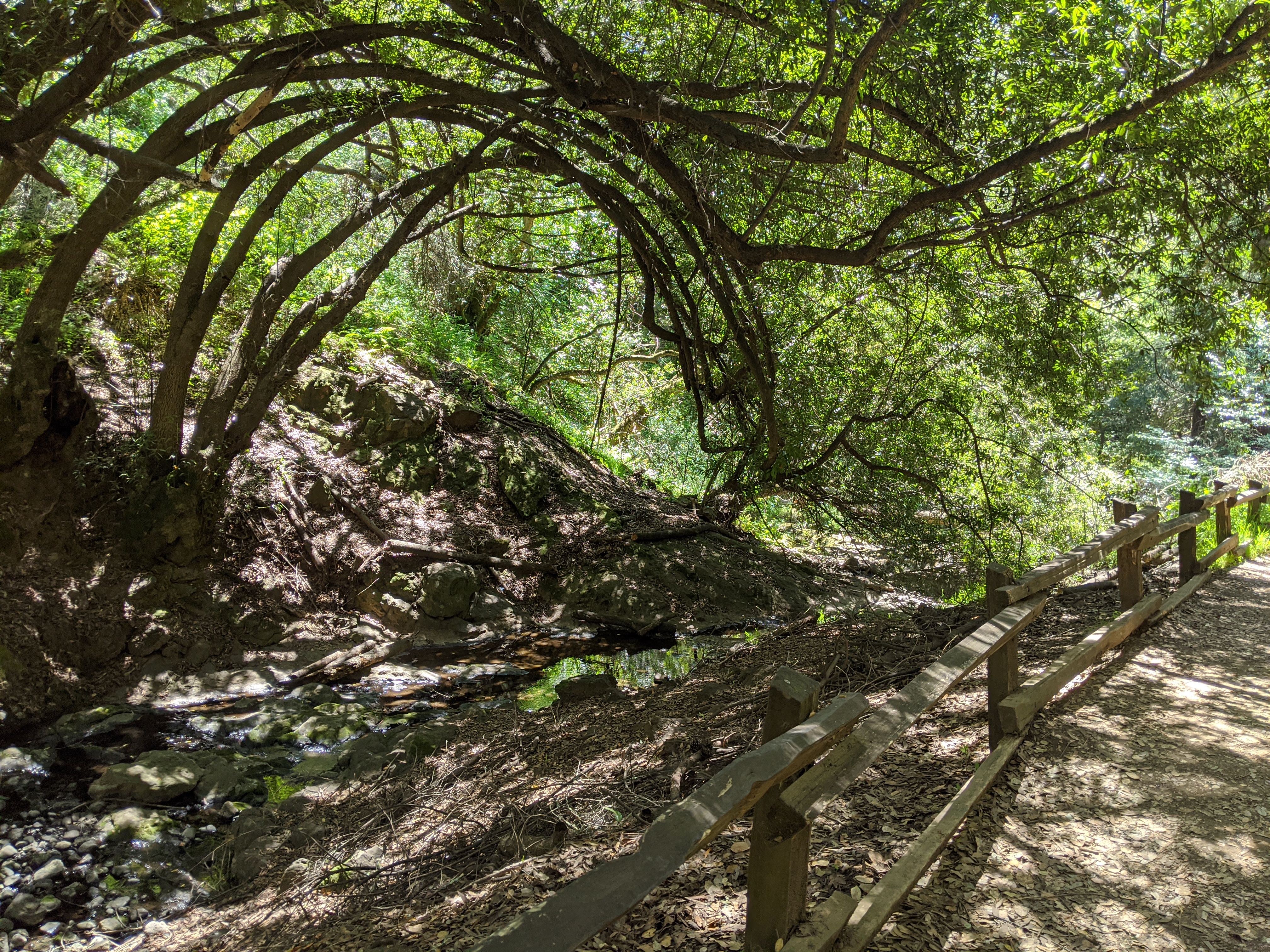
Wildcat Canyon Regional Park
With its headwaters in Tilden, Wildcat Creek flows out of the forest and into an open valley with a curious characteristic: a thickly forested ridge rises up on the shaded bayside, while the burning sun keeps the inland side dry and grassy. The creek eventually opens out into Richmond, with the parkland giving way to urban sprawl a short walk from major bus lines running up and down San Pablo Avenue.
From San Pablo Ave, a short walk up McBryde Ave takes you to the park’s main entrance, the Alvarado Staging Area. The Trails Challenge hike begins there, following the valley up a ways to Havey Canyon before following that canyon and the trails it meets up to the ridgeline, looping back down to the valley, and ending back where you began.
Intensity: Challenging
Travel time: 9min on AC Transit 72
From: El Cerrito del Norte BART
Length: 9.5mi, including 0.7mi walking to/from the bus
GPX: Download hike
Read about this hike in the Guidebook »