Doing the 2025 East Bay Parks Trails Challenge car-free
14 Mar 2025Every year, the East Bay Regional Parks District puts on their annual Trails Challenge. Now in its 32nd year, the Challenge is both an encouragement to get out on the trails, with a mileage goal and a trail count goal, and a guide suggesting a variety of hikes to go on suitable for people of all levels of hiking comfort.
One of the most special parts of the East Bay Regional Parks is how integrated into our neighborhoods they are. Where houses end, parks begin, and this means that you can walk right off the bus and upto the trailhead at many of the trails in this year’s Trails Challenge guidebook.
This post is intended as an unofficial companion for the official Trails Challenge 2025 guidebook: more information about the following hikes is available there.
Point Pinole Regional Shoreline
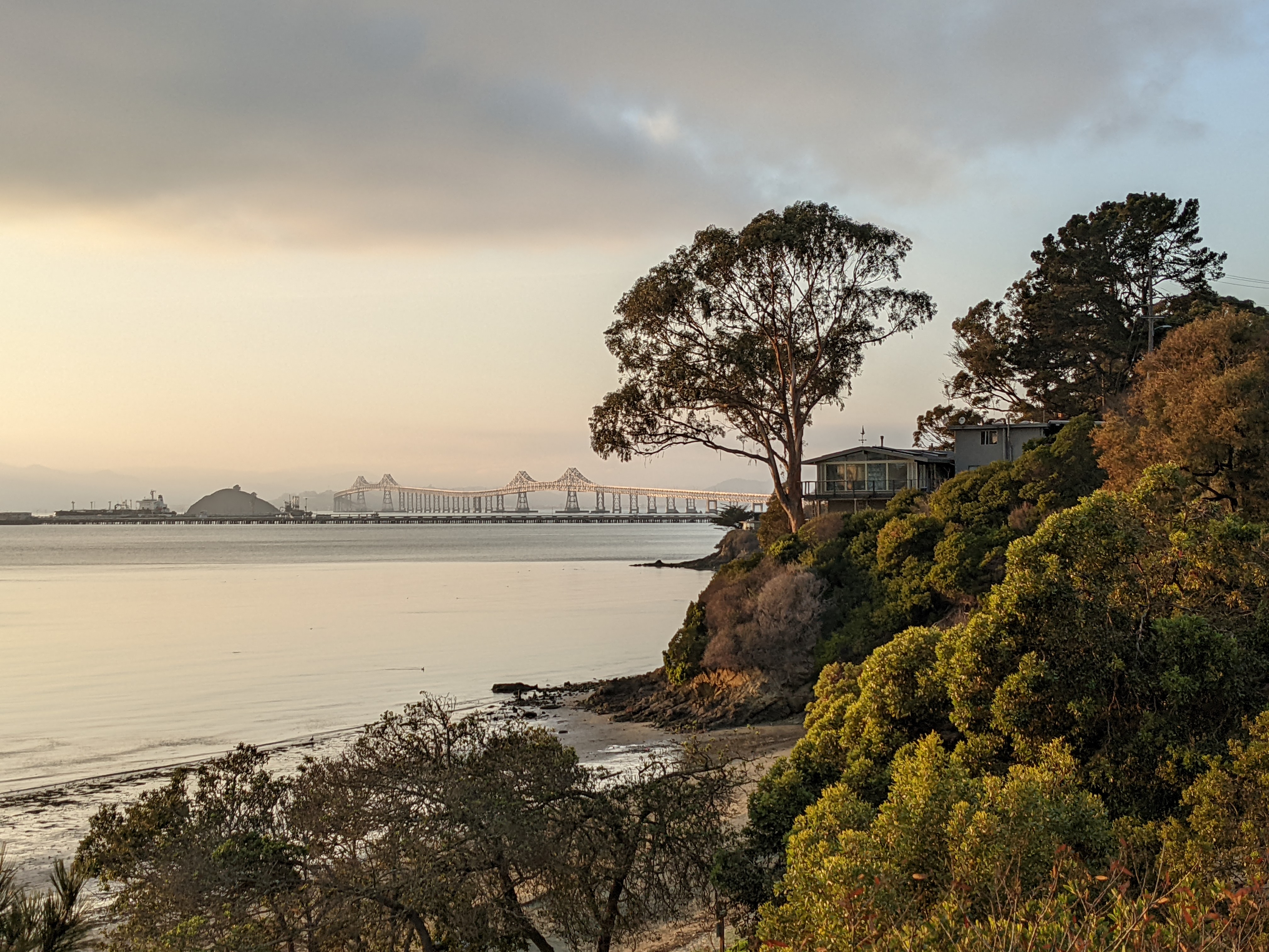
A short hike through eucalyptus groves, through fields, and out into the Dotson Family Marsh. The walk from the bus stop is under half a mile on wide, separated multi-use path along Atlas Rd.
Intensity: Easy
Travel time: 31min on AC Transit 71/376
From: Richmond BART
Length: 5.0 miles, including 0.4mi each way to/from the bus
GPX: Download hike
Read about this hike in the Guidebook »
Robert W. Crown Memorial State Beach
Admire the small aquarium at the Doug Siden Visitor Center, then walk along the beachfront to the Habitat Garden. The walk from the bus stop to the visitor center is under half a mile with sidewalks the entire way.
Intensity: Easy
Travel time: 9min on AC Transit 20/51A
From: 12th St/Oakland City Center BART
Length: 1.5 miles, including 0.3mi each way to/from the bus
GPX: Download hike
Read about this hike in the Guidebook »
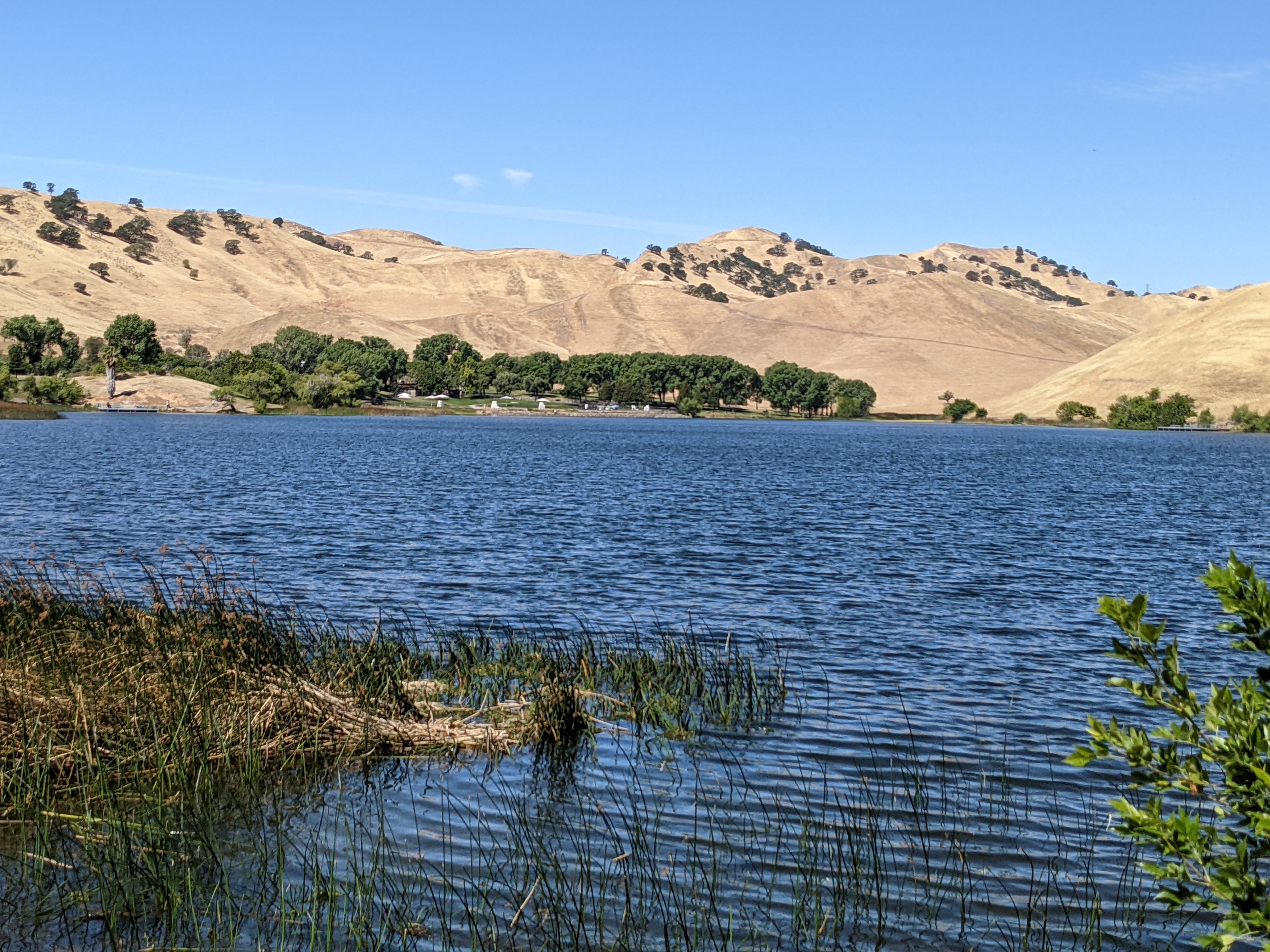
Shadow Cliffs Regional Recreation Area
Former gravel quarry pits now form peaceful lakes at this Pleasanton-area park. In the spring, visit for wildflowers; in hotter months, though the trails are exposed, the lakes and surrounding trees help keep the area somewhat cooler than paved urbanized areas. The bus stops directly at the park entrance, and the hike is minimally hilly with the tallest hill being that from the entrance on Stanley Blvd down into the park.
Intensity: Easy
Travel time: 18min on Wheels 10
From: Dublin/Pleasanton BART
Length: 2.4 miles, including 0.1mi each way to/from the bus
GPX: Download hike
Read about this hike in the Guidebook »
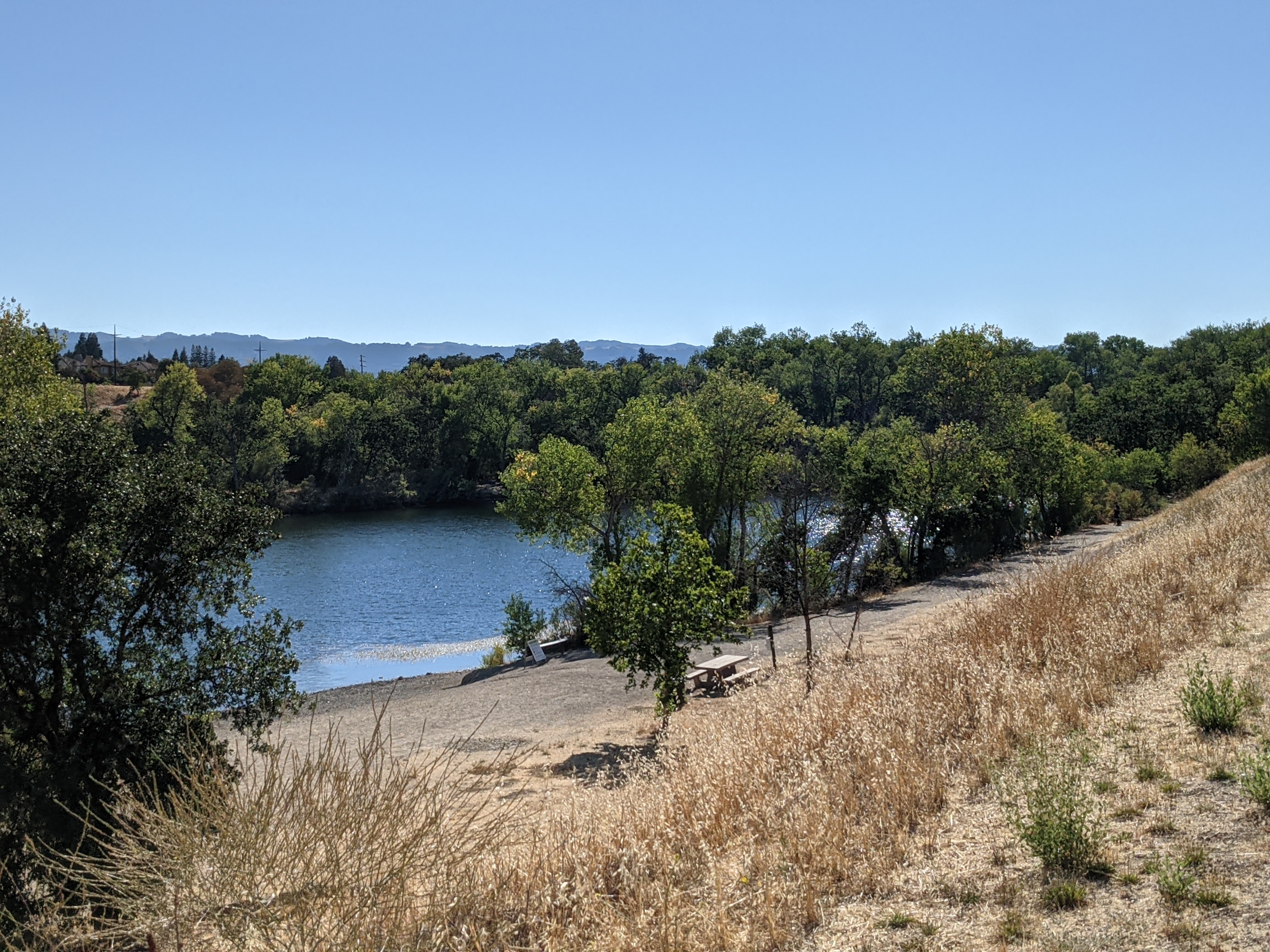
Contra Loma Regional Park
Contra Loma Reservoir, the highlight feature of this regional park, was built in the 1960s as an emergency water supply for the area. Today, its shores are home to grasses, trees, and local fowl, including migratory waterfowl and year-round residents like the California quail. This hike around the rim of the reservoir shows off the park’s features, from the swim lagoon and boat launch to the less-traveled, peaceful eastern side. The nearest all-week bus stop is located just under a half mile away from the entrance to the adjoining Antioch Community Park, but on weekdays the bus stops directly at the Community Park’s entrance.
Intensity: Moderate
Travel time: 37min on Tri Delta 380
From: Pittsburg Center BART
Length: 3.9 miles, including 0.4mi each way to/from bus
GPX: Download hike
Read about this hike in the Guidebook »
Garin Regional Park
The hike in the Trails Challenge guidebook is not transit-accessible, but a similar hike in the co-managed Dry Creek Pioneer Regional Park is. This route is a similar hike that goes up the High Ridge Loop Trail with sweeping views over the southern San Francisco Bay, Union City, and the surrounding hills.
The Dry Creek Staging Area is located approximately 600 feet up May Rd from the intersection of Mission Blvd. Part of the staging area driveway has no sidewalks, but a gravel shoulder provides a space to walk out of the path of traffic.
Intensity: Moderate
Travel time: 7min on AC Transit 99
From: Union City BART
Length: 5.3 miles, including 600 feet each way to/from bus
GPX: Download hike
Read about more about the area in the Guidebook »
Miller/Knox Regional Shoreline
This park, located just through the Point Richmond Tunnel from Richmond’s most quaint neighborhood, is located at the former terminus of the Santa Fe transcontinental railroad. This hike starts at the Keller Beach before looping around the park’s pond and heading up to several of the peaks of the 371-foot hill separating it from the bustle of the city and port, from which San Francisco, Mount Tamalpais, and the surrounding bayshore and islands can be seen.
The park is located a short walk from central Point Richmond and the 72M bus, with the walk heading through the historic tunnel on a separated, raised multi-use path.
Intensity: Moderate
Travel time: 20min on AC Transit 72M
From: El Cerrito del Norte BART
Length: 3.1 miles, including 0.3mi each way to/from bus
GPX: Download hike
Read about this hike in the Guidebook »
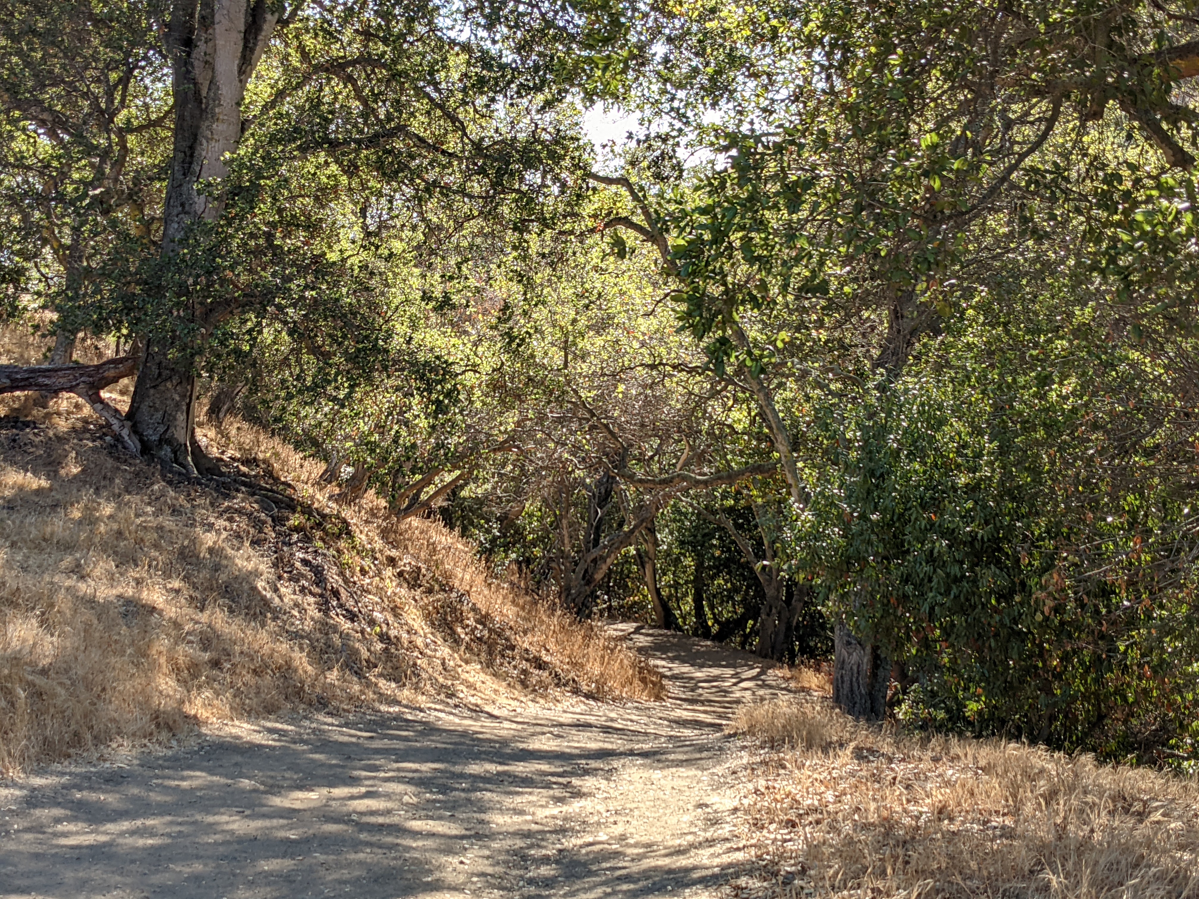
Quarry Lakes Regional Recreation Area
Directly adjacent to Alameda Creek, Quarry Lakes form an oasis amidst suburban Union City and Fremont. Starting in historic downtown Niles, the walk to the Creek Trail is short but pleasant. Hiking around the lakes, you’re offered a chance to walk out onto the Isla Tres Rancheros peninsula to enjoy its fruit tree grove before continuing around the lakes and back up the Creek Trail.
Intensity: Moderate
Travel time: 10min on AC Transit 216
From: Union City BART
Length: 7.8 miles, including 0.4mi each way to/from bus
GPX: Download hike
Read about this hike in the Guidebook »
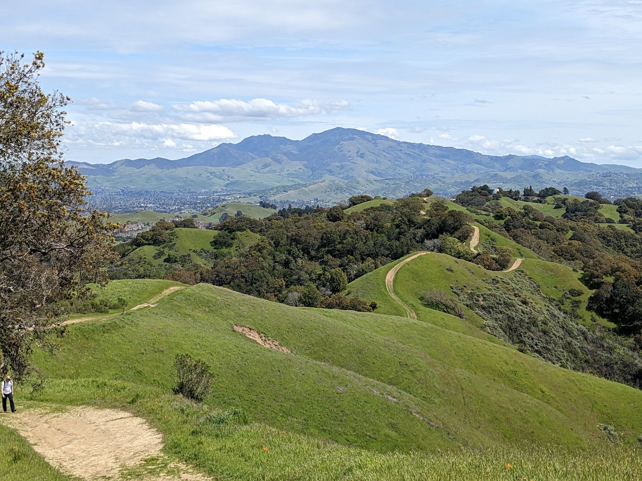
Briones Regional Park
Briones looms large above the city of Lafayette, with neighborhoods crawling partway up the sides. Through those neighborhoods, small trails and stairs snake their way, providing access up to the trails of the ridges above. The Peter Jakovina Trail is the most convenient of those from downtown Lafayette, climbing rapidly upto the ridge trail, joining with the Trails Challenge hike.
Intensity: Challenging
Travel time: starts at BART station!
From: Lafayette BART
Length: 6.5 miles, including 1.0mi each way to/from BART
GPX: Download hike
Read about this hike in the Guidebook »