Region
South Bay
The Valley of Heart's Delight was once famous for its fresh fruit, flowering trees, and scenic beauty. Today, the orchards are mostly gone, but the hills remain above the traffic and development.
The South Bay is a large region, with the San José basin stretching roughly 15 miles from side to side. This makes getting beyond the urban area more difficult than in other parts of the Bay, and some transit-accessible hiking is served only on weekdays. Even so, all-week routes provide access to foothill preserves, creek corridors, historic ranchland, and panoramic views.
Recommended hikes
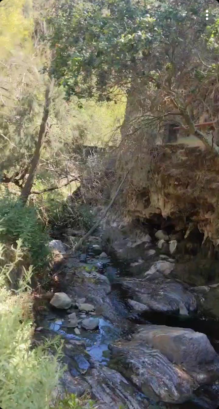
South Bay
Alum Rock: Penintencia Creek Trail
The Penitencia Creek Trail runs all the way from Berryessa BART into Alum Rock Park, and then up the narrow canyon parallel to the roadway
- up to 7mi
- easy
South Bay
Coyote Valley: Arrowhead Loop
Coyote Valley Open Space Preserve offers views over Morgan Hill from its grassy and oaky shoulder.
- 5.3mi (including walk to trailhead)
- easy-to-moderate
South Bay
Rancho San Antonio: Rhus Ridge
Sprawling green hills and shaded canyons just outside Silicon Valley.
- 4.4mi
- moderate
South Bay
Santa Teresa: Bernal Loop
Santa Teresa County Park, on the far southern end of San José, has sweeping, seemingly endless views of the valley.
- 6.2mi (including walk to trailhead)
- moderate
Trailheads in South Bay
The interactive map requires JavaScript. Browse the hike guides or use the trailhead records instead.
Loading map data…
Use two fingers to pan the map.
Drag to pan. Hold Ctrl or ⌘ while scrolling to zoom.
Trailhead results
No trailheads are visible in this map area. Pan or zoom out to find results.