Mount Tamalpais: Panoramic Hwy to East Peak
- Length: 4.0mi (out and back), 5.7mi (one way to Dawn Falls Trailhead)
- Travel time: approximately 45min from Sausalito Ferry Terminal
- Stop served: daily
- Google Maps:
- Park information
- Hike route
Marin Transit 61 serves this stop every day of the week. Catch the 61 at the Sausalito Ferry Terminal if coming from San Francisco, or at the Marin City Transit Center if coming from elsewhere.
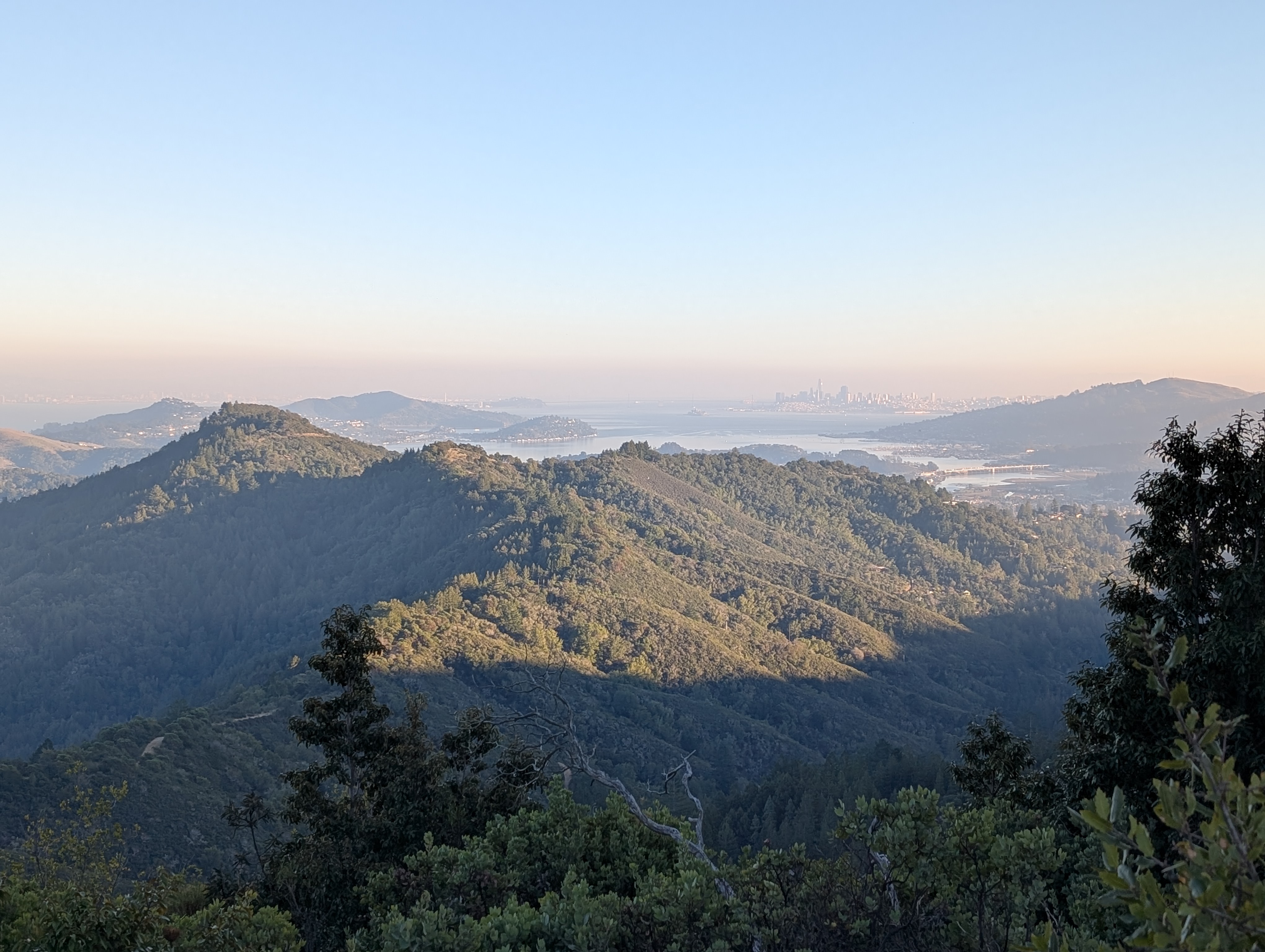
Mount Tamalpais – Mt Tam between friends – needs no introduction to Bay Area hikers. The views from the top are stunning panoramic views of nearly the entire northern half of the Bay Area, and the hike there starts on Panoramic Hwy, itself with gorgeous views of the ocean. The most direct, 2.0mi hike to the summit is steep; for a less steep, slightly longer option consider continuing up Old Railroad Grade instead of turning onto Fern Creek Trail.
For a slightly longer hike, continue downhill and northeast to the Dawn Falls Trailhead in the Baltimore Canyon Preserve (5.7mi), or to the Piedmont Rd Trailhead (6.6mi), where you can catch Marin Transit 22 to downtown San Rafael or to Marin City.